A Guide to the City of Tualatin, Oregon
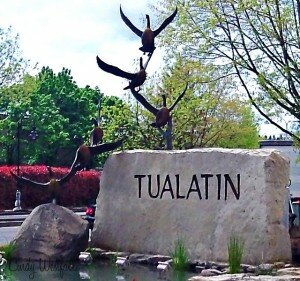 Tualatin is located 12 miles southwest of Portland, accessible by I-5 and I-205 and Highway 99W. The Tualatin River meanders through town at an unhurried pace, carrying canoes and kayaks along its tree-lined expanse. More than 110 acres of parklands and an active tree preservation and planting program have earned Tualatin the nickname “Tree City, U.S.A.” And in an echo of the town’s past as an onion and hops farming community, the popular produce market Lee’s Farms still sells pumpkins, Christmas trees and other fresh homegrown goods year-round. Rapid evolution Despite its sleepy history, Tualatin has awakened to dramatic growth and change over the last 30 years.
Home builders have flocked to Tualatin to satisfy the metro area’s demand for new homes on good-sized lots, not too far from Portland. Legend Homes, Don Morissette Homes, J.C. Reeves Construction and SLS Construction are just a few of the builders working in Tualatin, which is within Portland’s urban growth boundary.
Developments such as Fox Hill, Victoria Woods, Lakeridge Terrace, Hedges Park, Hedges Estates and Lake Forest, seem to have sprouted almost as many new homes as there are trees.
Downtown Tualatin
For most of its history, what Tualatin lacked was a proper downtown. So in 1985, Tualatin urban renewal agency bought 19 acres in the town’s core and set about building the downtown Tualatin never had. The result is Tualatin Commons, a 3-acre man-made lake surrounded by a hotel, restaurants, office buildings, apartments, condos, and shops. Construction was completed in 1994.
Now, Tualatin residents can go into town, stroll around the lake and enjoy outdoor concerts every Friday night in July and August. In early August, there’s the venerable Crawfish Festival at Tualatin Commons and nearby Tualatin Community Park, where residents munch on miniature crustaceans and enjoy the festival atmosphere.
Going to Work
Though many residents commute to nearby Hillsboro, Beaverton or Portland for work, Tualatin employs about 9,000 people in its own community, including about 1,100 at the Tigard-Tualatin School District, 760 at Legacy Meridian Park Hospital and 700 at United Parcel Service.
Parks: Kid-Friendly City Full of Activities
 When school lets out for the summer, Tualatin offers a raft of activities to keep children and young people busy: kickflipping at the skateboard park, scrabbling around on the play equipment at Ibach Park, participating in the library’s summer reading program, attending a city- and school district-sponsored summer camp for middle schoolers, or paddling a kayak or canoe rented at Brown’s Ferry Park.
Tualatin offers 260 acres of community parks and greenspaces. This includes the Tualatin Commons with a man-made lake, Tualatin Community Park with a skate park, Brown’s Ferry Park with Tualatin River access, Ibach Park, Atfalati Park and Jurgens Park. In addition, the Tualatin River National Wildlife Refuge has a number of public access points.
Tualatin River Recreation
Many residents take advantage of recreation on the Tualatin River. A map of the Tualatin River National Wildlife Refuge shows public access points, mileage, hazards, and points of interest from the mouth of the Tualatin upstream through Washington County can be found on the Tualatin Riverkeepers Web site, which also has more interesting information about the river that runs through the City of Tualatin. Go to http://www.tualatinriverkeepers.org and click on “Tour of the Watershed” to see the map.
History
In 1853, Samuel Galbreath began a ferry service crossing the Tualatin River from a village he called “Galbreath”. The town’s name was changed to “Bridgeport” when Galbreath built the first bridge across the Tualatin River in 1856. Located along one of the first “improved” roads, Boone’s Ferry Road, Bridgeport thrived by attracting business from Portland throughout the Willamette Valley.
In 1886, the Portland & Willamette Railway Company purchased a right-of-way through John Sweek’s land on the Tualatin River’s west bank opposite Bridgeport. Profiting from the sale, Sweek took advantage of the railroad’s location and platted a town around the depot – he called the new town Tualatin. The City of Tualatin was incorporated in 1913 at which time an official government was formed.
Community Demographics
- City of Tualatin 2010 US Census Demographics Profile of General Demographics Characteristics.
Websites
- Tualatin Times A weekly newspaper.
- City of Tualatin 18880 S.W. Martinazzi Avenue, Tualatin; 503-691-3018.
- Tualatin Chamber of Commerce 19358 S.W. Boones Ferry Road, Tualatin; 503-692-0780.
- Washington County Elections Division.
Portland Monthly Magazine Guide to Neighborhoods & Communities

In their April issue every year, the Portland Monthly Magazine features the past year home prices along with other information about Portland neighborhoods and suburban communities. To read the magazine’s latest stories and numbers visit the Real Estate section.
The numbers on the website and printed magazine are divided into four sections (real estate, people, crime, and lifestyle) on each of the Portland 90 plus neighborhoods as well as about 25 suburban communities. The website offers over 50 items of information about each Portland neighborhood and suburban community.
The magazine added a feature on their website for homes sold in 2014 and it’s also available for homes sold in 2015 — an interactive map where you can click on a neighborhood and a pop-up displays five items (1-year median price change, 5-year median price change, median gross rent, walkability score and percent of newcomer) for a Portland neighborhood as well as a suburban community. Note the detailed numbers for each of the four sections for homes sold in 2015 are displayed below the map.
To visit the magazine’s website latest stories and numbers visit their Real Estate section — click on “Neighborhoods” to view the numbers for the Portland neighborhoods and click on “Suburbs” for the numbers on communities in the metro area. Note the detailed numbers for each of the four sections for homes sold in 2014 and 2015 are displayed below the map. To access the Portland neighborhoods and metro communities demographic data and home prices by year:
- 2013 Demographics and Home Prices
- 2014 Demographics and Home Prices
- 2015 Demographics and Home Prices
Tualatin Demographics Below is some facts about the Tualatin community gleaned from the magazine’s website. A few numbers can tell much about the character of a community. You can view more data about Tualatin by visiting the Portland Monthly’s website.
- Average year homes built in the community: 1986
- Percent of residents below poverty level: 11.9%
- Percent of neighborhood land area that is in parks: 8%
- Commute by public transportation: 5.1%
- Commute by bike or walking: 1.9%
1Tualatin Home Prices: 2007-2015
- Number of Homes Sold in Tualatin—► 431 homes were sold in 2015 and 2.1% were distressed sales. 316 homes were sold in 2014 and 8% were distressed sales — 12% of the sales were condos. 358 homes were sold in 2013 and 15% were distressed sales. 288 homes were sold in 2012 and 30% were distressed sales. 248 homes were sold in Tualatin in 2011 and 13% were distressed sales. In 2009 there were 231 sold and 32% of these were distressed properties sales.
- Median Price for Homes Sold in Tualatin—► $348,050 in 2015, $229,000 on 2014, $298,250 in 2013, $263,000 in 2012, $284,500 in 2011, $280,000 in 2010, $312,000 in 2009, $410,000 in 2008, and $362,000 in 2007.
- Average Cost per Square Foot—► $171 in 2015, $158 in 2014.
- 1-Year Median Sales Price Change in Tualatin—► 9.2% change in 2015. 2014 the sales price change was 7%. 2013 the sales price change was 13%. 2012 the sales price change was -8%. 2011 the sales price change was 2%. 2010 the change was -10%.
- 5-Year Median Sales Price Change in Tualatin—► 22.1% for the years 2011-2015. 2010 to 2014 the sales price change was -9%. 2009 to 2013 the sales price change was -15%. 2008 to 2012 the sales price change was -25%. 2007 to 2011 the sales price change was -20%. 2006 to 2010 the change was -14%.
- Portland Metro Area Median Home Price—► $308,000 in 2015, $288,500 in 2014, $265,000 in 2013, $235,000 in 2012, $221,000 in 2011, $239,900 in 2010, $247,000 in 2009, $278,000 in 2008, and $290,000 in 2007.
- Portland Metro Area Average Home Price—► $354,500 in 2015, $333,000 in 2014, $310,600 in 2013, $275,00 in 2012, $263,300 in 2011, $282,100 in 2010, $289,900 in 2009, $330,300 in 2008, and $342,000 in 2007.
Please be aware that the above figures are subject to error and are intended as guidelines only.
Find a Home in the City of Tualatin
- Homes for Sale in Tualatin— View on all devices except Apple® mobile devices. To view homes for sale in the City of Tualatin on Apple® mobile devices key in “tualatin” in the “Location” field and click on the “Search Now” icon.
- Displays All Homes for Sale in Tualatin — View on all devices. Photos of homes displayed along with detailed description of property.
- Displays Homes New on the Market in Tualatin — View on all devices. Photos of homes displayed along with detailed description of property.
- Search for Homes — Search on all devices. Map-based on devices configured with Adobe Flash and Javascript and text-based on any device.
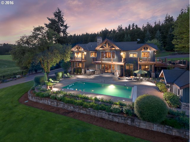
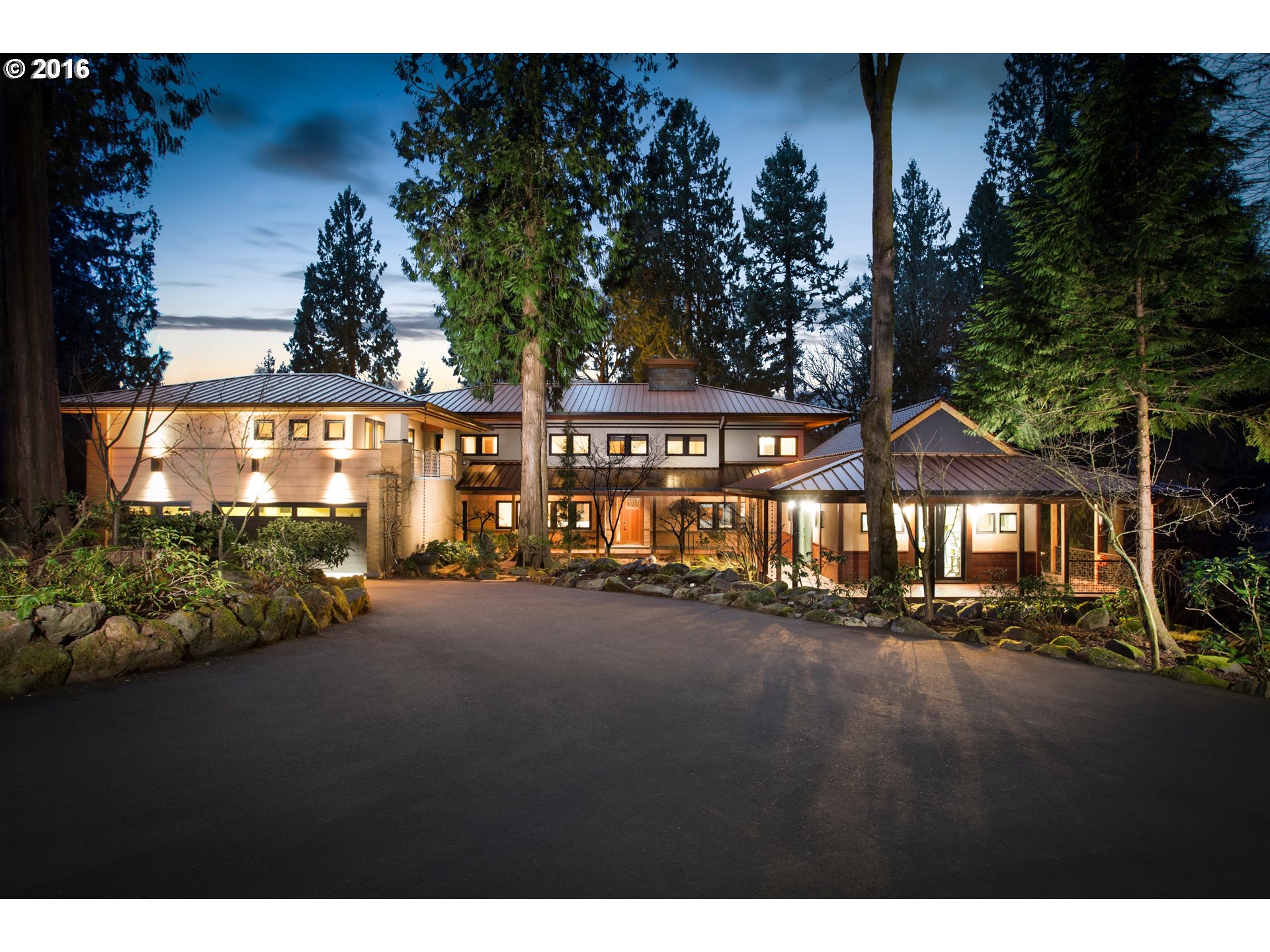
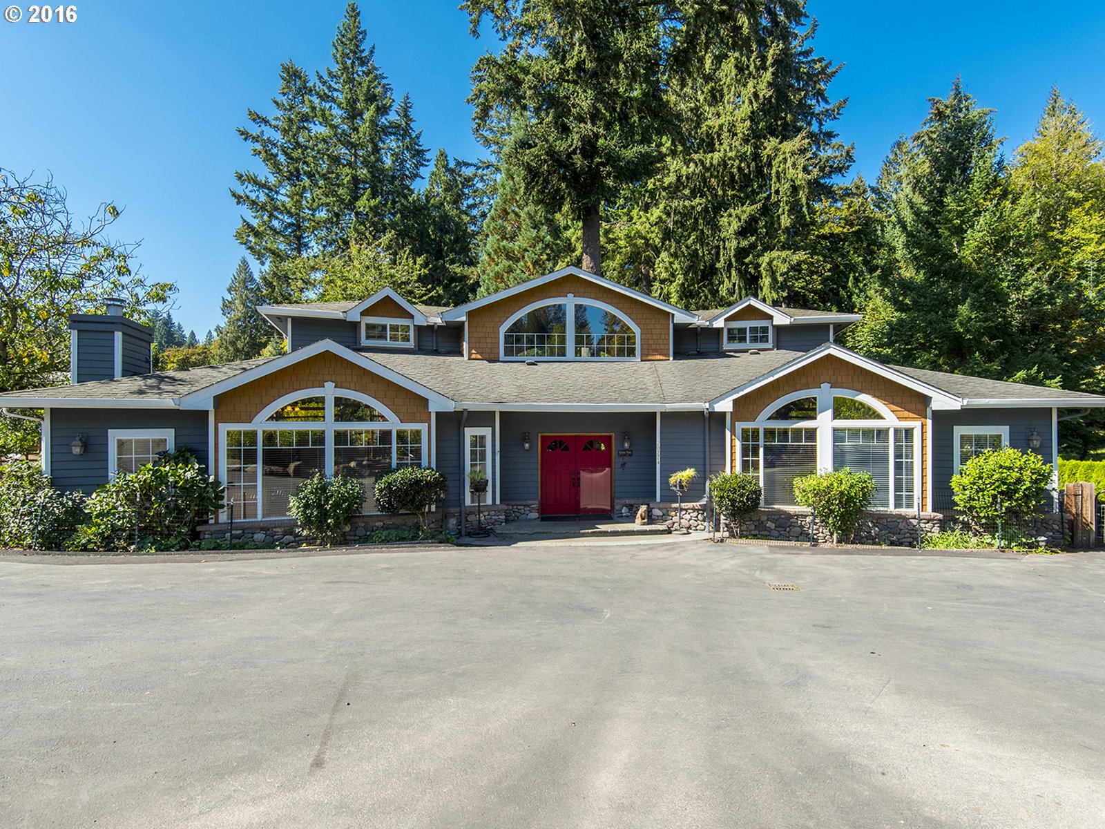
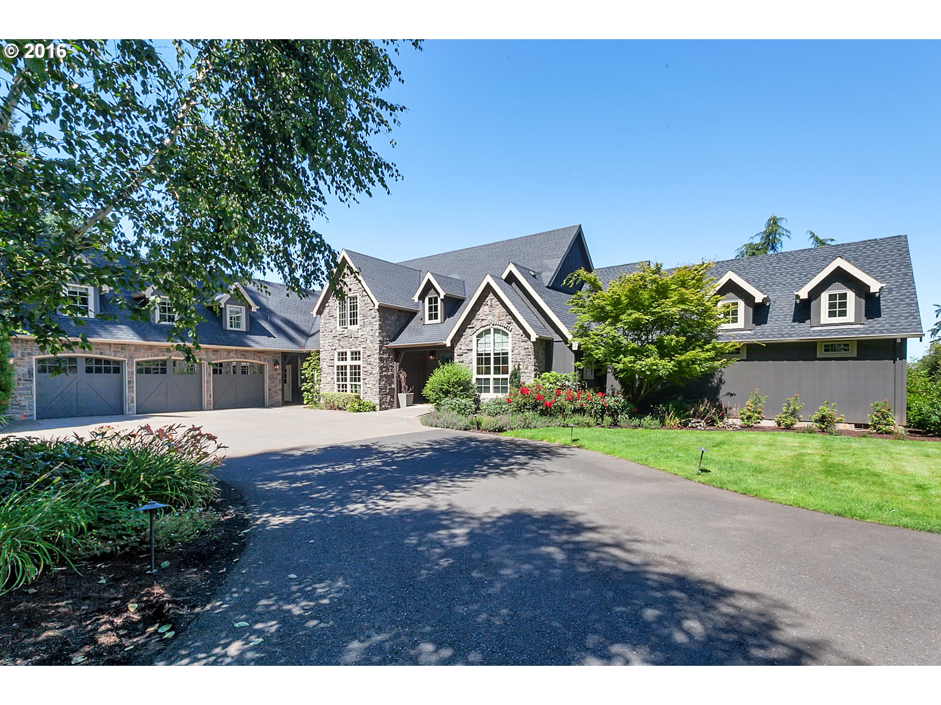
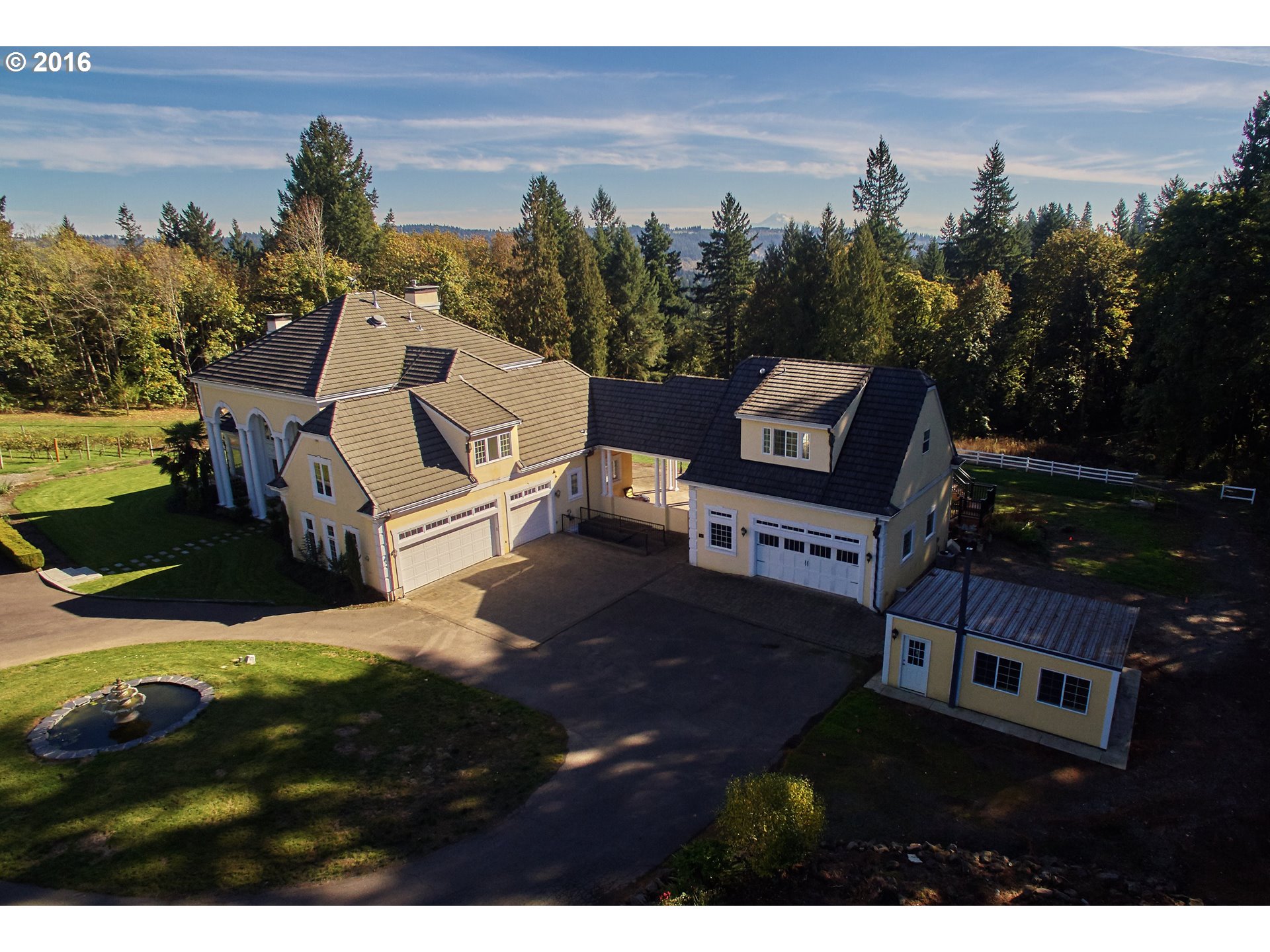
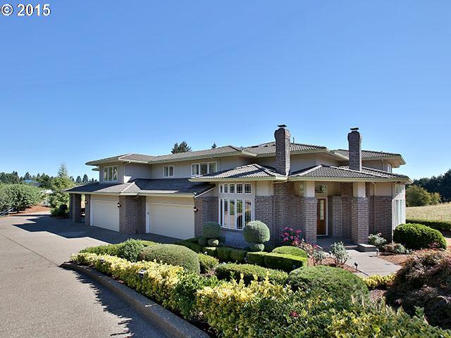
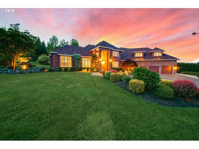
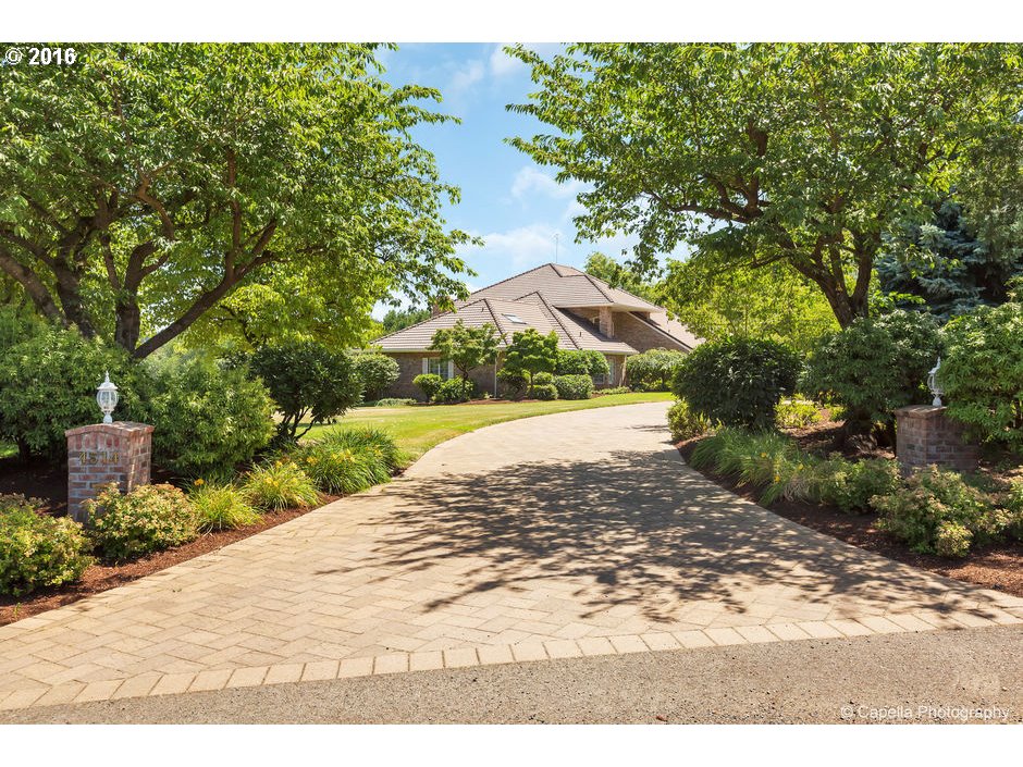
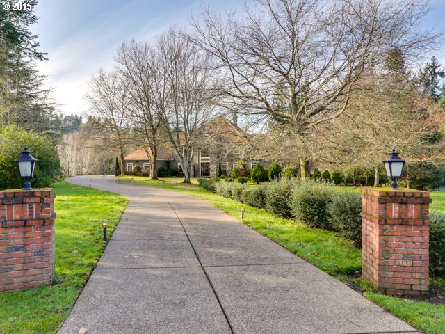
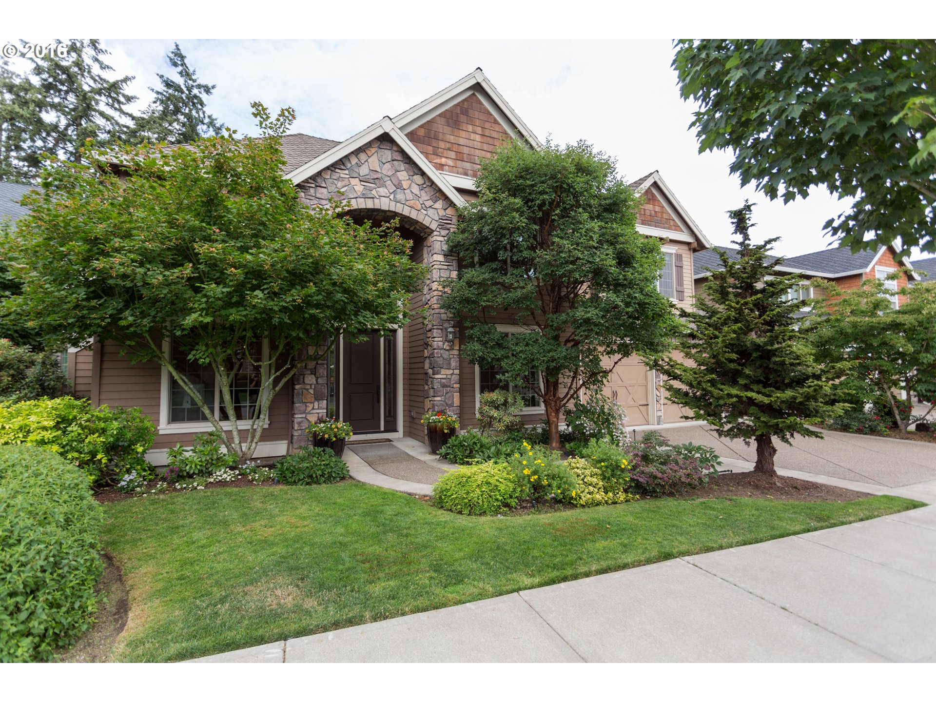
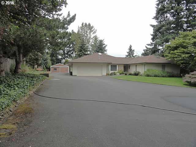
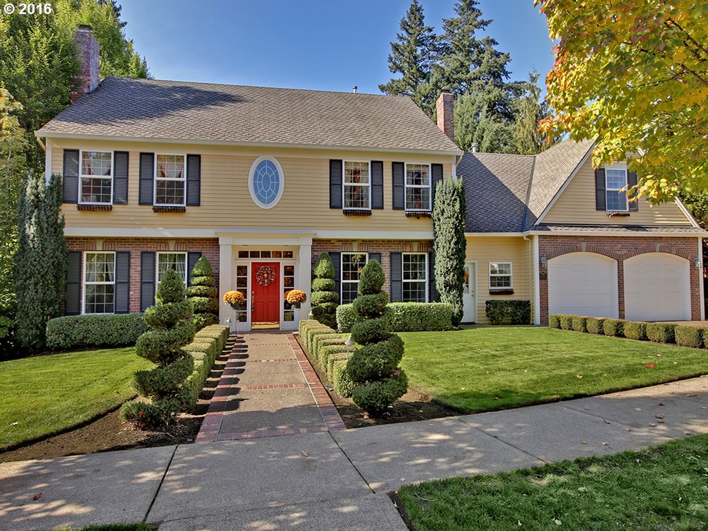
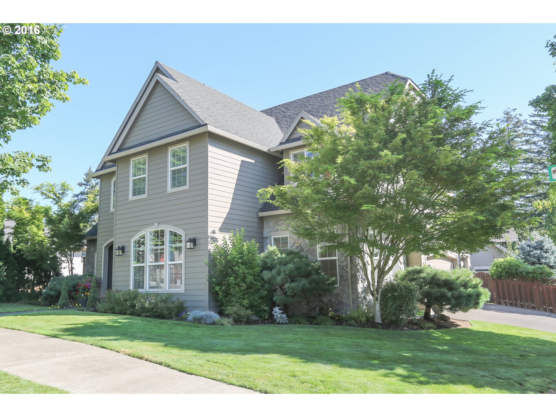
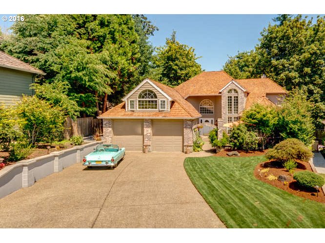
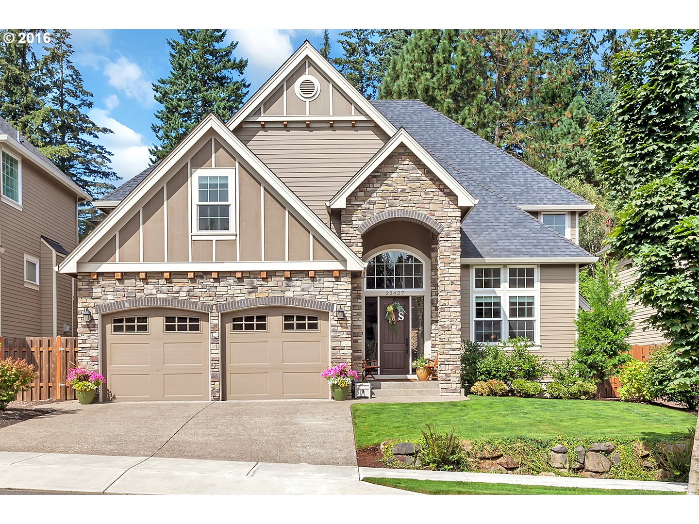
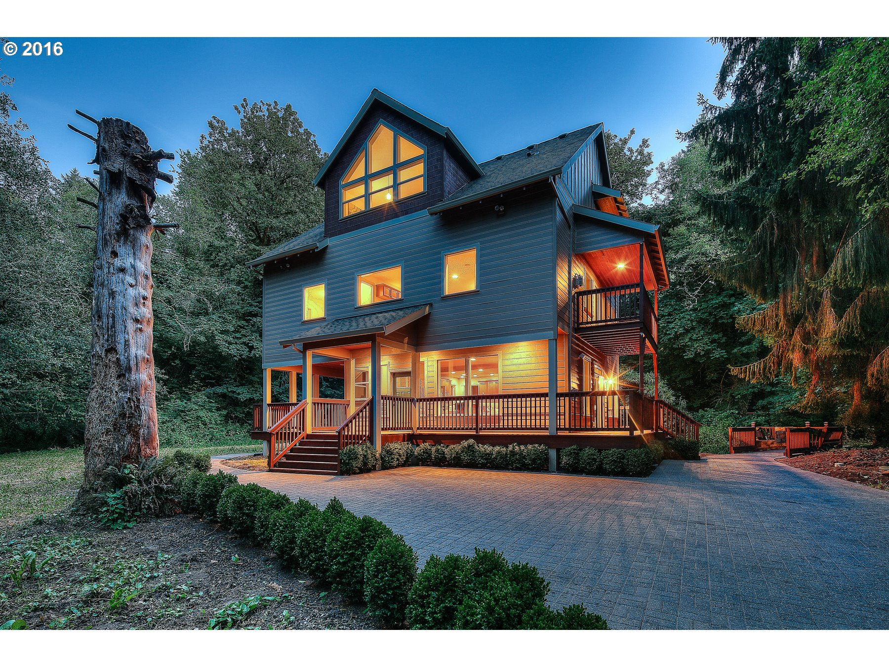
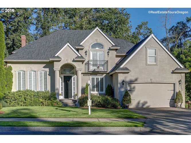
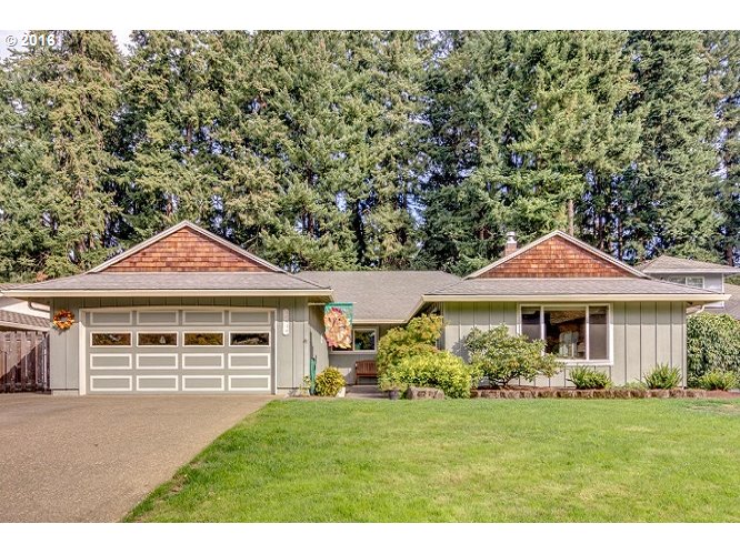
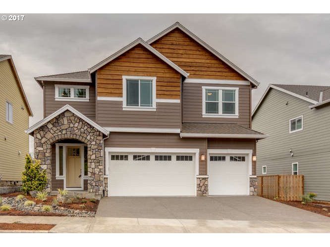
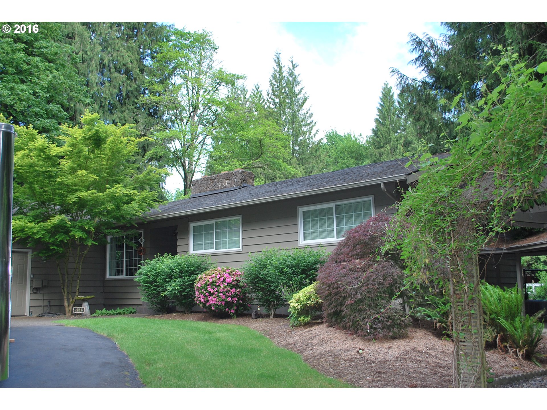
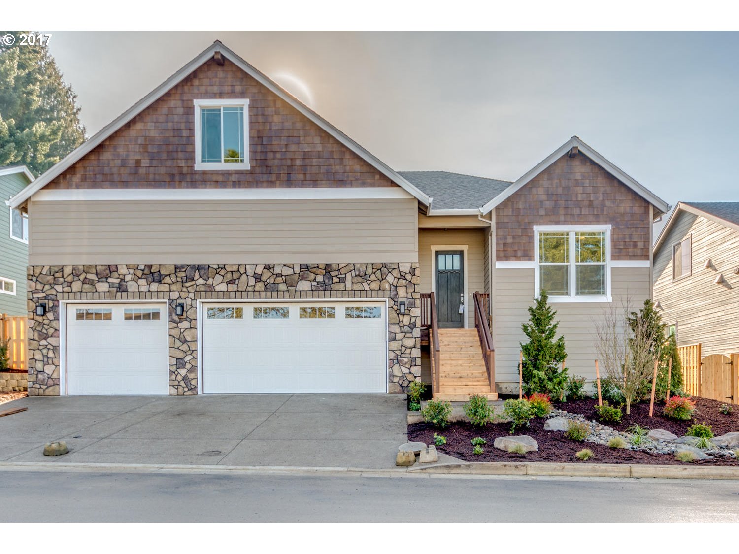
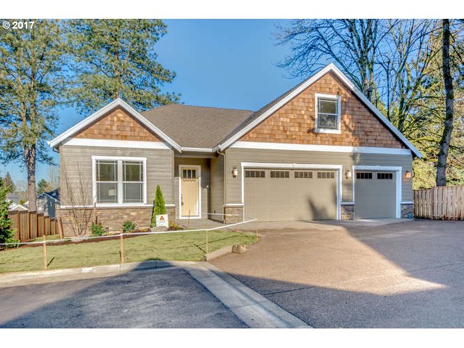
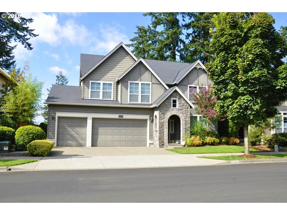
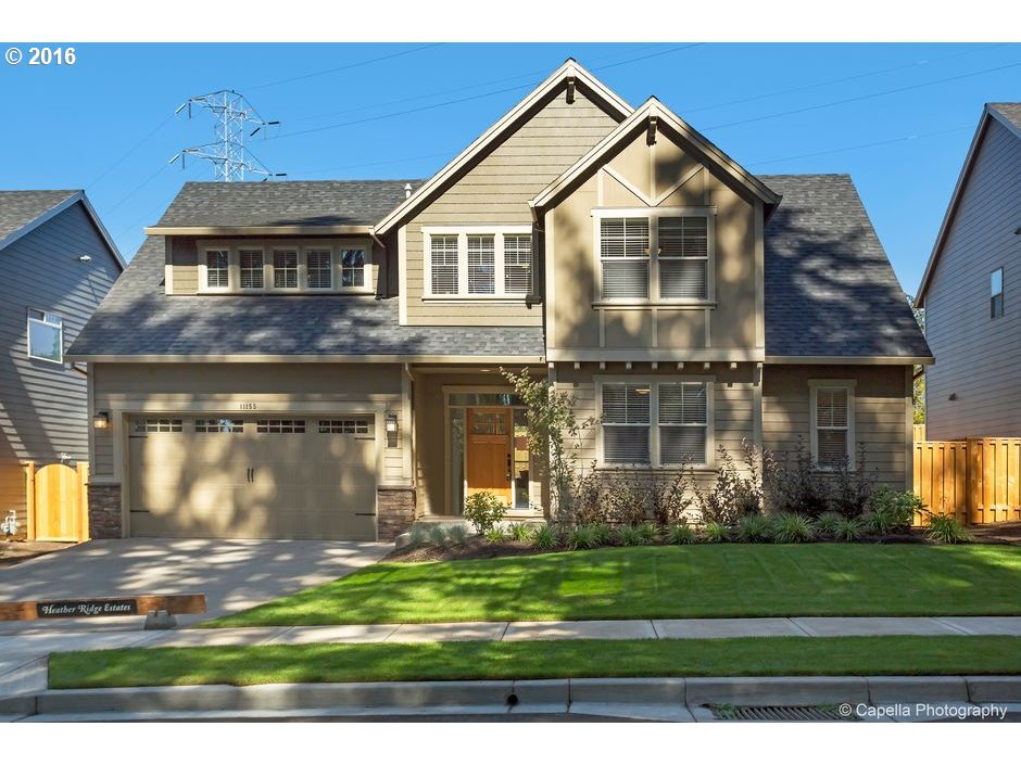
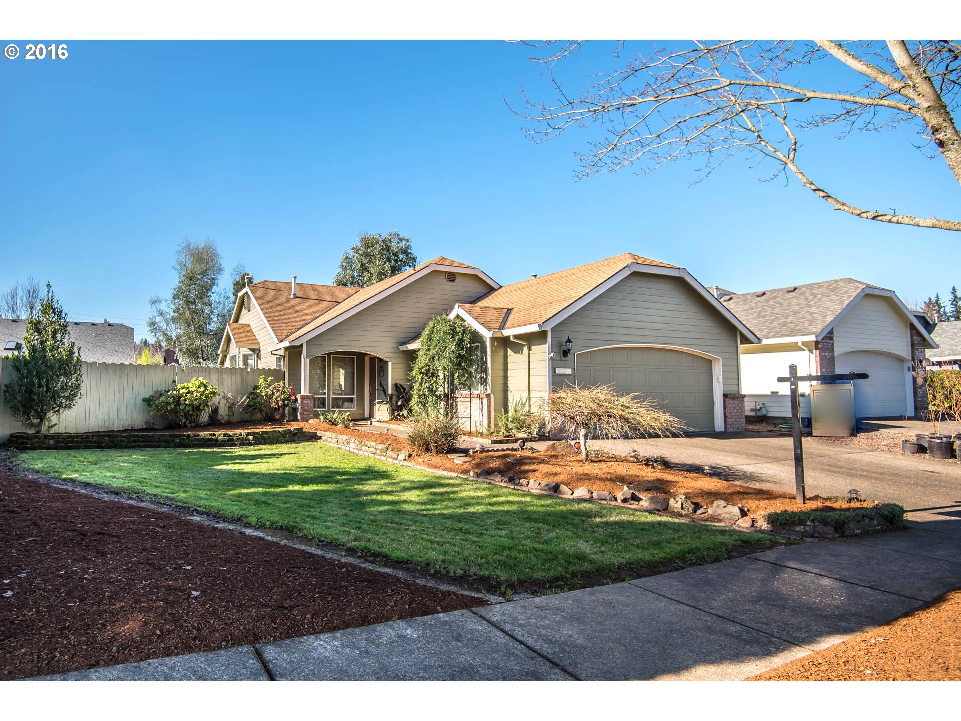
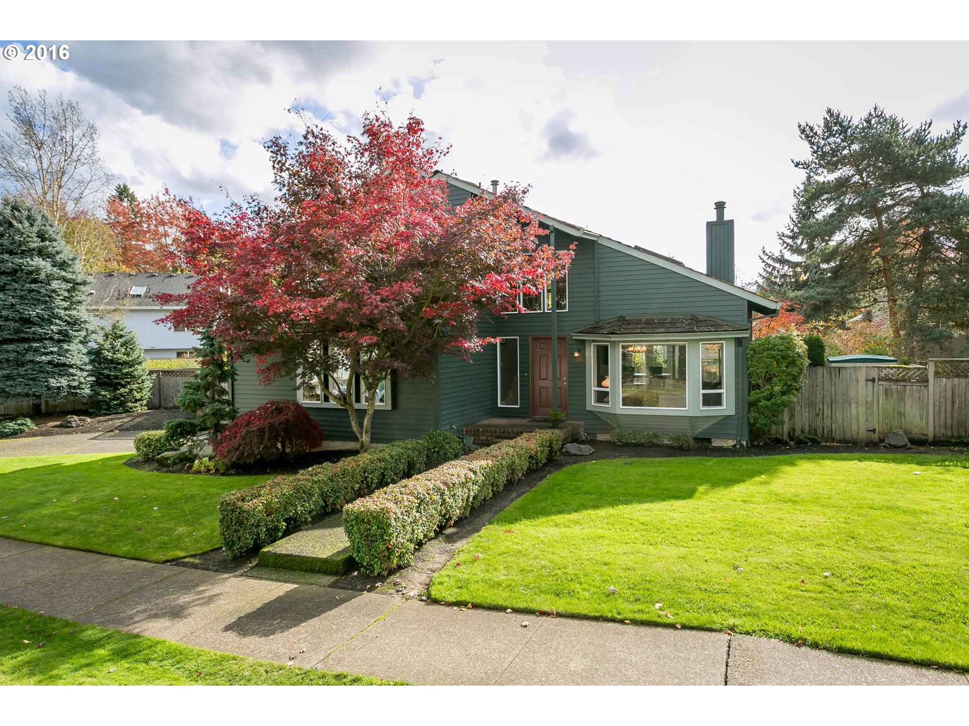
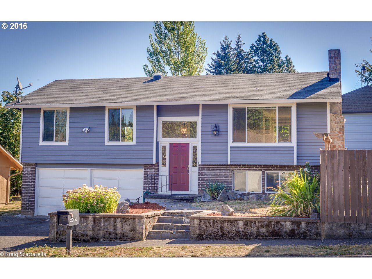
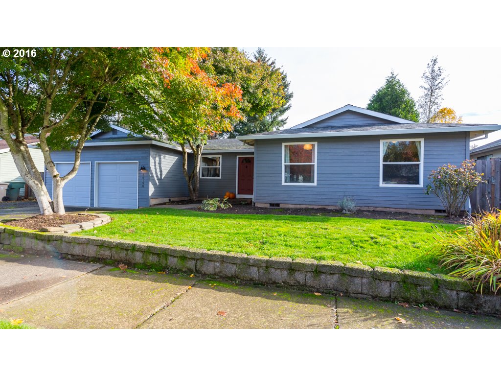
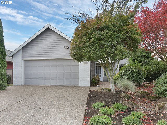
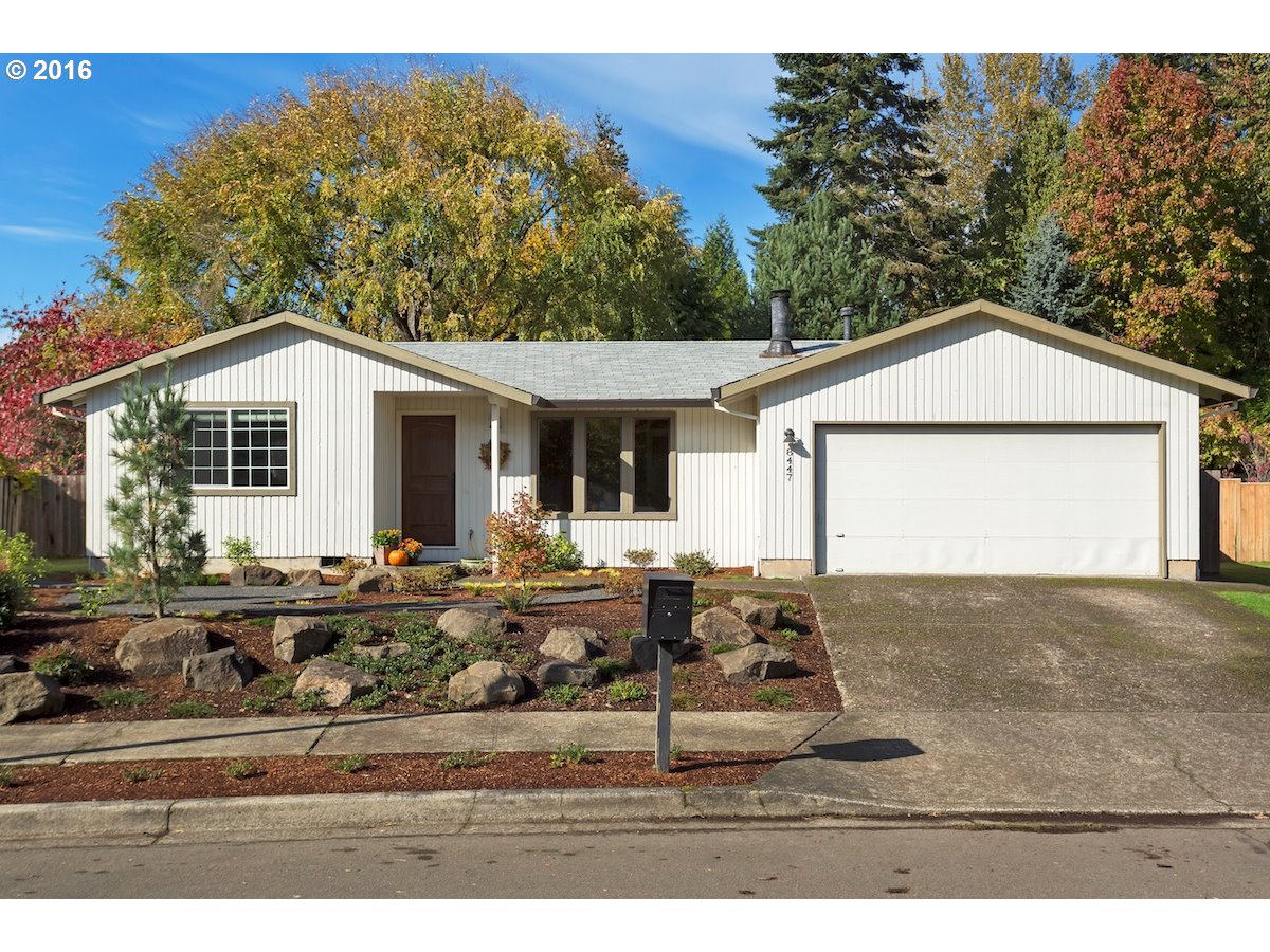
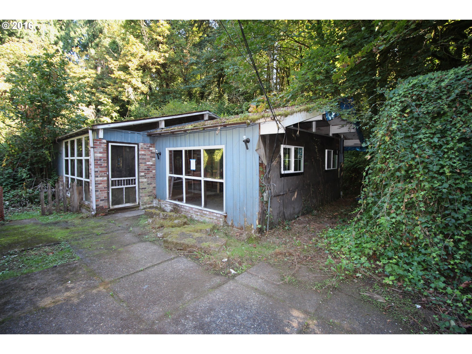
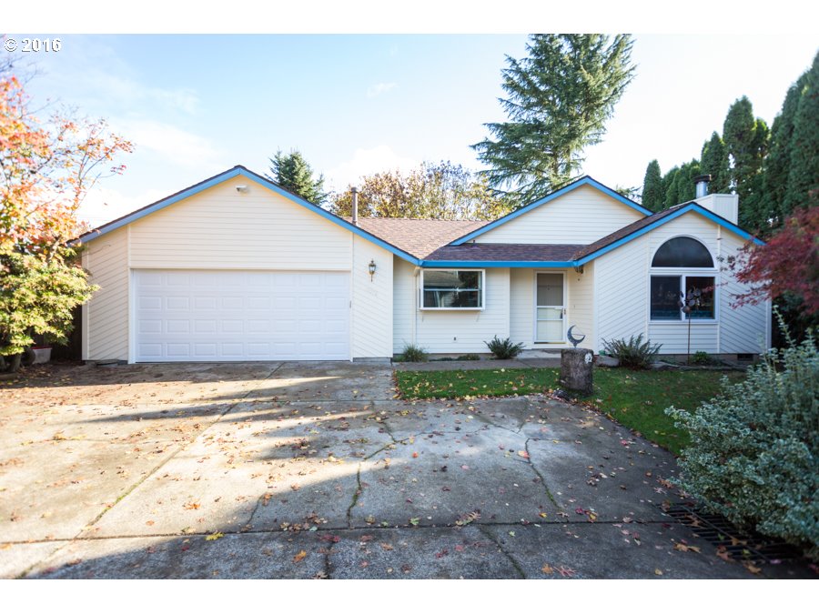
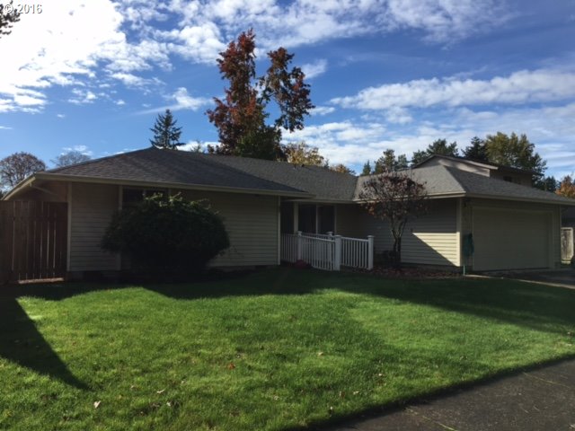
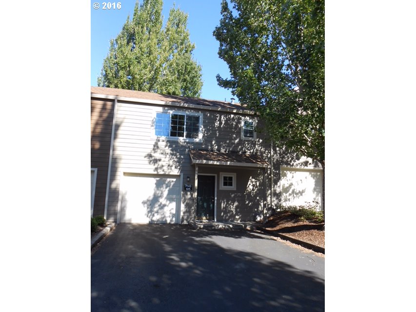
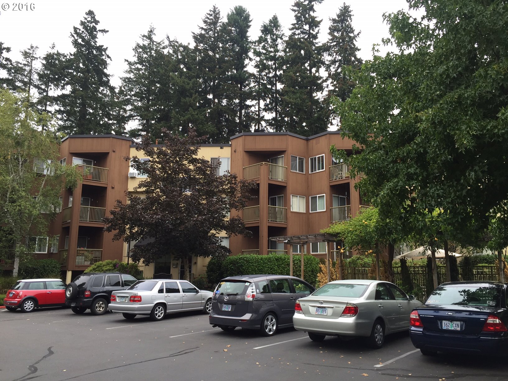
Homes for Sale in Tualatin
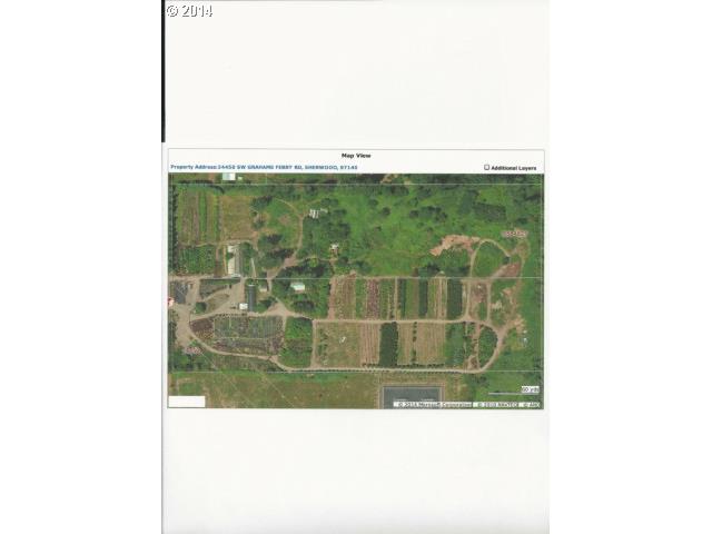
24450 Sw Grahams Ferry Rd Sherwood, OR 97140
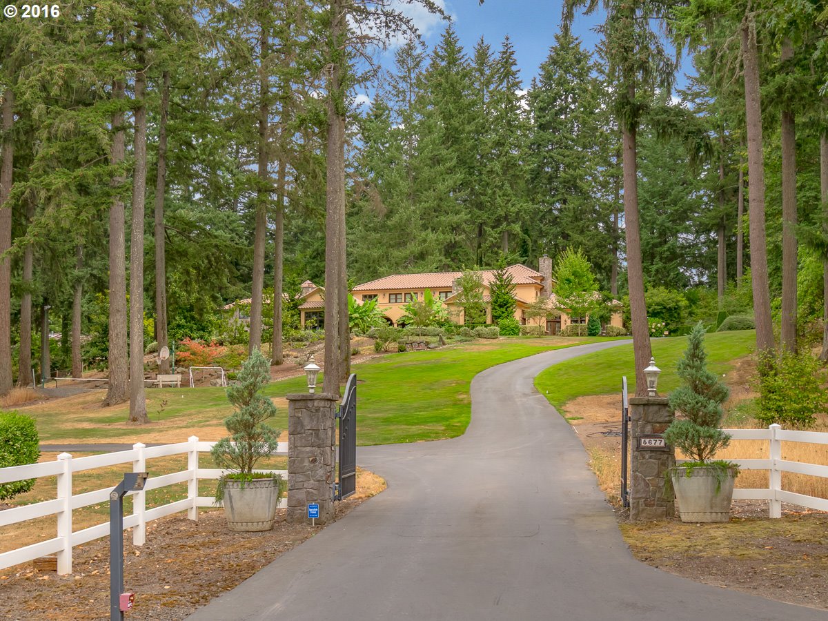
5677 Sw Delker Rd Tualatin, OR 97062
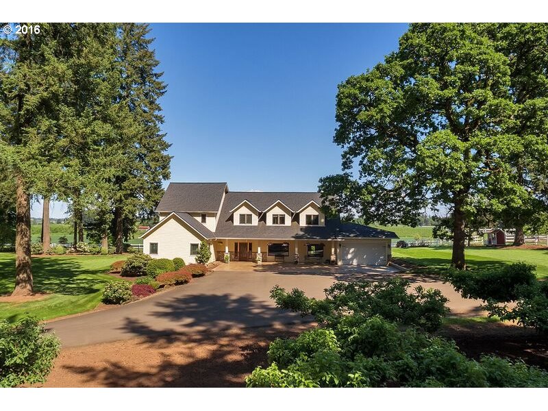
24040 Sw 82nd Ave Tualatin, OR 97062
6985 Sw Elligsen Rd Tualatin, OR 97062
3949 Sw Halcyon Rd West Linn, OR 97068
20774 Sw Prindle Rd Tualatin, OR 97062
5835 Sw Blackberry Ln Tualatin, OR 97062
21600 Sw Stafford Rd Tualatin, OR 97062
22206 Sw Bar None Rd Tualatin, OR 97062
6557 Sw Knollwood St Tualatin, OR 97062
4514 Sw Trail Rd Tualatin, OR 97062
21011 Sw Wyndham Hill Ct Tualatin, OR 97062
22611 Sw 96th Dr Tualatin, OR 97062
10475 Sw Helenius St Tualatin, OR 97062
22825 Sw Erio Pl Tualatin, OR 97062
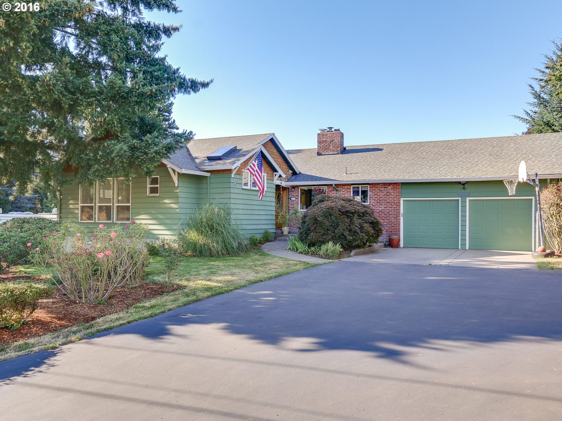
7845 Sw Frobase Rd Tualatin, OR 97062
5600 Sw Meridian Way Tualatin, OR 97062
10555 Sw Hazelbrook Rd Tualatin, OR 97062
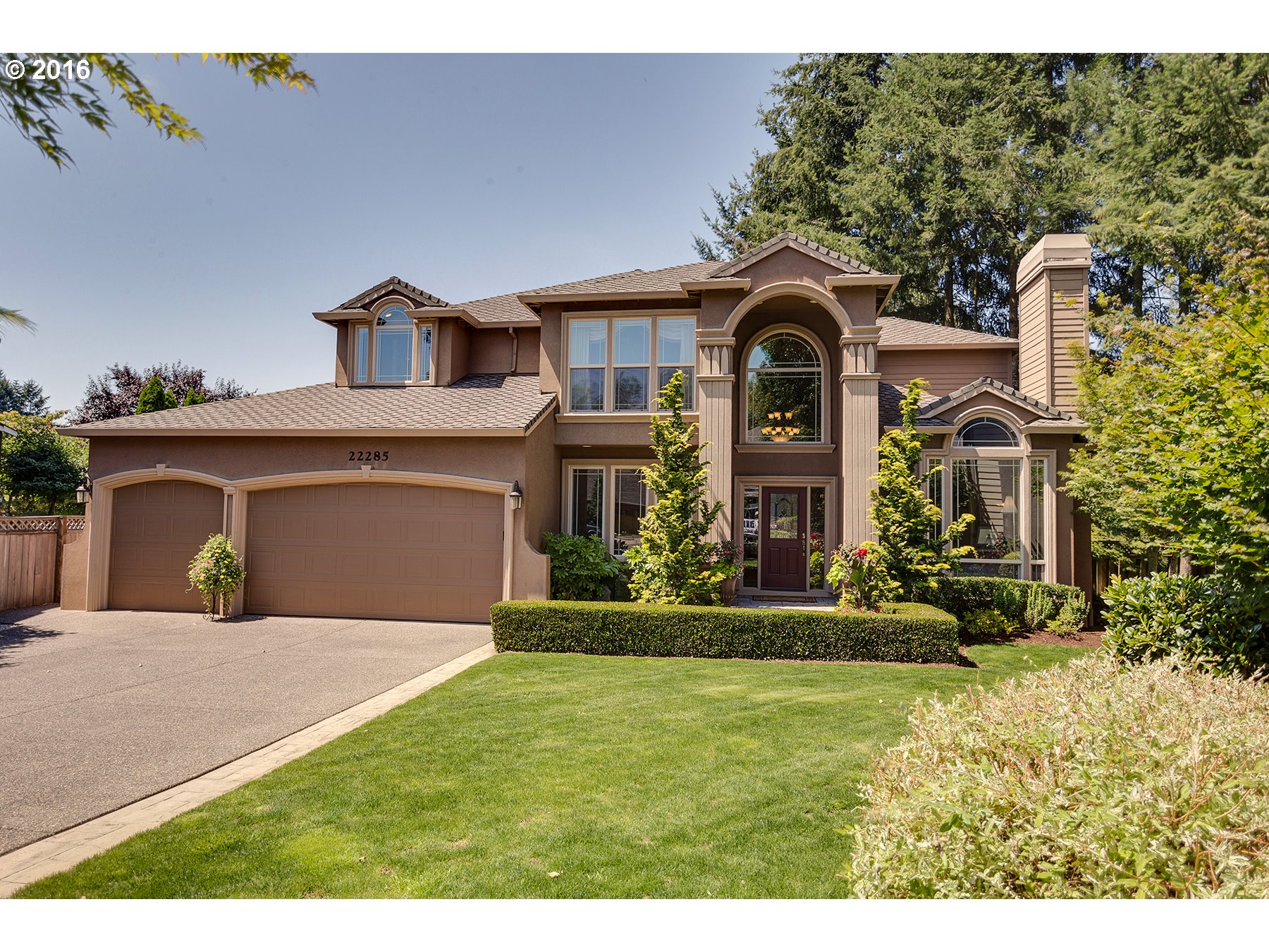
22285 Sw Chilkat Ter Tualatin, OR 97062
9865 Sw Iowa Dr Tualatin, OR 97062
4605 Sw Chunut Ct Tualatin, OR 97062
22427 Sw 104th Ave Tualatin, OR 97062
4350 Sw Halcyon Rd Tualatin, OR 97062
4515 Sw Saum Way Tualatin, OR 97062
17930 Sw Shawnee Trl Tualatin, OR 97062
20455 Sw Comanche Ter Tualatin, OR 97062
5145 Sw Prosperity Park Rd Tualatin, OR 97062
8840 Sw Comanche Ct Tualatin, OR 97062
8815 Sw Comanche Ct Tualatin, OR 97062
22447 Sw 112th Ave Tualatin, OR 97062
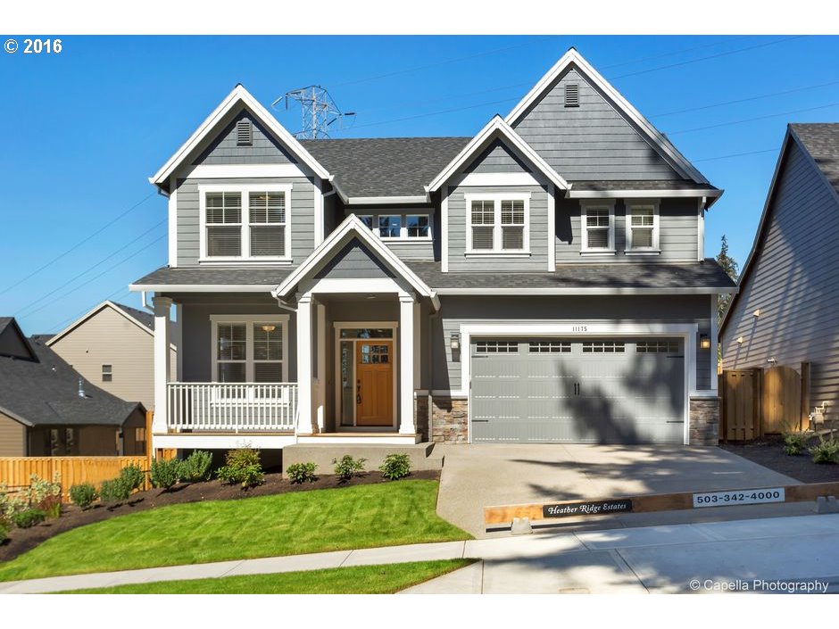
11155 Sw Helenius St Tualatin, OR 97062
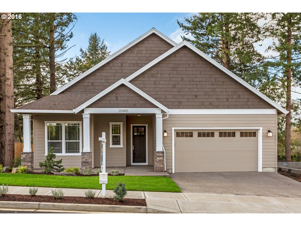
20485 Sw Comanche Ter Tualatin, OR 97062
7025 Sw Norwood Rd Tualatin, OR 97062
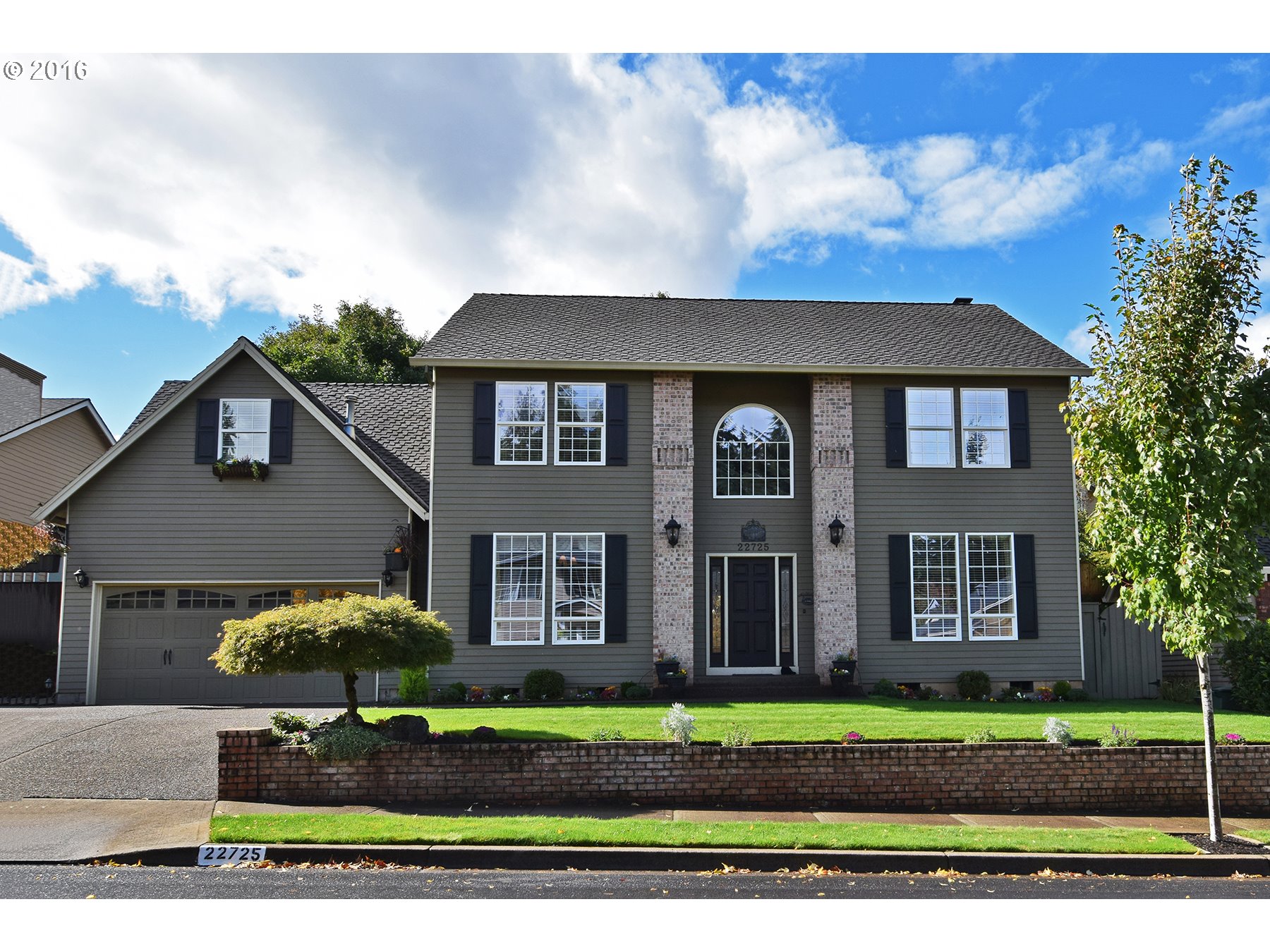
22725 Sw Vermillion Dr Tualatin, OR 97062
11175 Sw Helenius St Tualatin, OR 97062
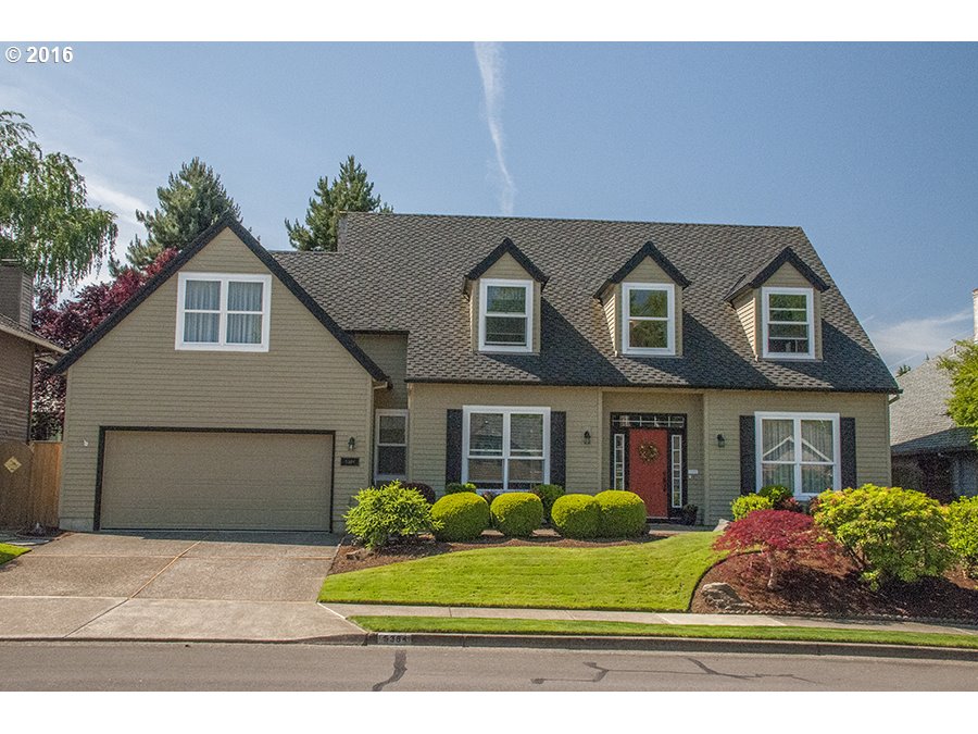
5384 Sw Natchez St Tualatin, OR 97062
9225 Sw Ibach Ct Tualatin, OR 97062
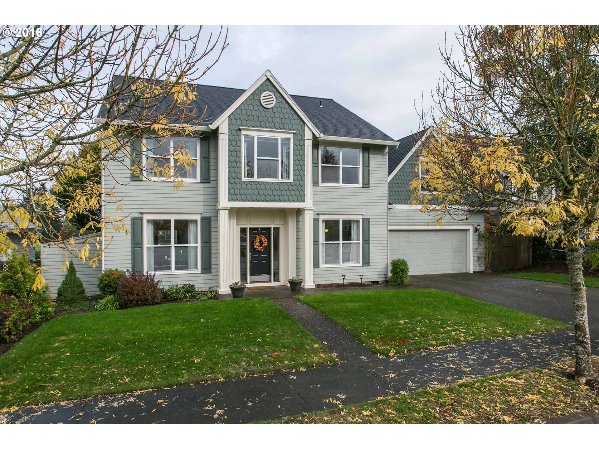
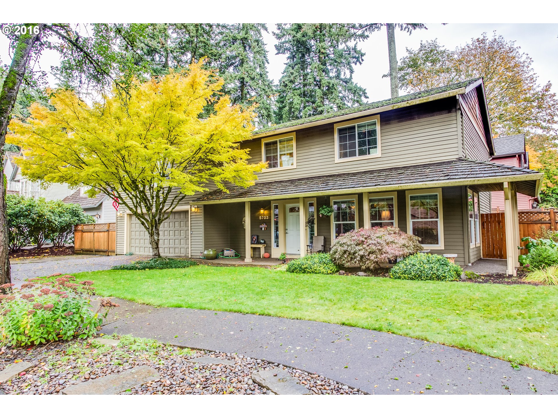
5703 Sw Calusa Loop Tualatin, OR 97062
17950 Sw 109th Ave Tualatin, OR 97062
9455 Sw Cherry Ln Tualatin, OR 97062
20920 Sw 87th Ct Tualatin, OR 97062
17925 Sw Shasta Trl Tualatin, OR 97062
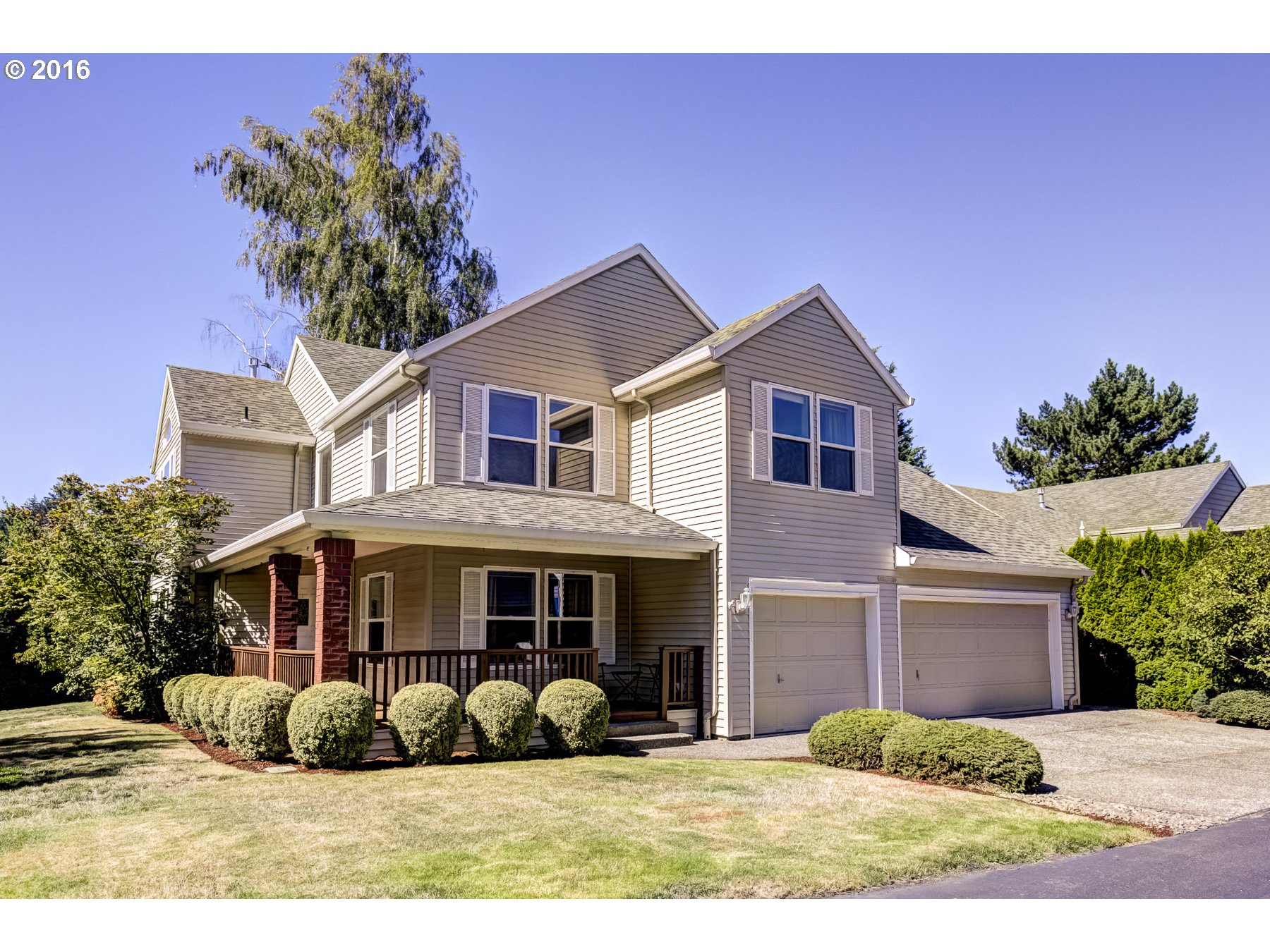
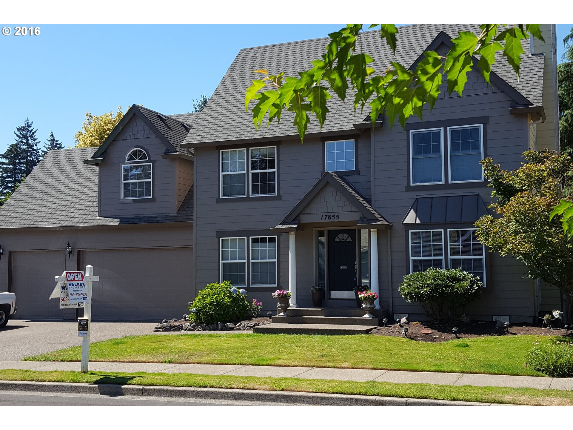
17855 Sw 112th Ave Tualatin, OR 97062
18399 Sw 133rd Ter Tualatin, OR 97062
20016 Sw 69th St Tualatin, OR 97062
20480 Sw 86th Ave Tualatin, OR 97062
20190 Sw 70th Ave Tualatin, OR 97062
18243 Sw 134th Ter Tualatin, OR 97062
8447 Sw Tygh Loop Tualatin, OR 97062
19275 Sw Tualasaum Dr Tualatin, OR 97062
10332 Sw Pueblo St Tualatin, OR 97062
9636 Sw Siuslaw Ln Tualatin, OR 97062
7125 Sw Sagert St #105 Tualatin, OR 97062
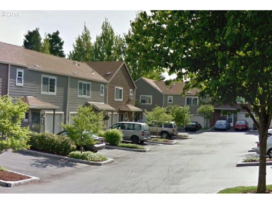
7143 Sw Sagert St #105 Tualatin, OR 97062
8720 Sw Tualatin Rd #216 Tualatin, OR 97062
9293 Sw Tanoak Ln Tualatin, OR 97062
More About Tualatin
- Origin of Name The word is derived from an Indian expression referring to the Tualatin River and plains.
- Parks 134 acres.
- 2Drive Time to Downtown It will take a good half hour to drive to downtown Portland.
- Public Transportation There are seven bus lines running in Tualatin. The Westside Express Service (WES) is a commuter railroad and it has a stop in Tualatin. The WES route goes from Wilsonville to Beaverton.
- 3Census 2010 Demographics Population: 26,054. Number of households: 10,528. Median household income of $65,892 (metro area median household income: $49,260). Diversity: 16.4% non-Caucasian. Median value of owner-occupied housing units: $141,100. Percent of residents over 25 years of age holding a bachelor’s degree or higher: 43.9%. See City Data for more information about Tualatin.
- 4Crime Stats There were 783 property crimes (assault, arson, burglary, larceny, robbery, theft from auto, vehicle theft) in 2013. There were 27 violent crimes (aggravated assault, homicide, robbery, rape) committed in 2013. There were 31 crimes per 1,000 residents in 2013. The Tualatin Police Department’s website is void of any annual crime statistics so head to the City Data website for detailed reports.
- Sex Offenders Click here for the State of Oregon Sex Offender Inquiry System. After agreeing to the “Conditions of Use Statement” you will be redirected to a “Enter Search Criteria” page. Insert a zip code in the “Zip” field and click on the “Query” button.
- 5Shopping and Services Number of supermarkets: 2. Number of health clubs: 1. Number of public libraries: 1. Shopping and dining opportunities at the Fred Meyer mall, Martinazzi Square and Hedges Greene (which houses a Haggen’s grocery store, Starbucks, a video store and other modern necessities).
- Renters vs. Homeowners Owner occupied is 55% and renter-occupied is 45%.
- Who Lives in Tualatin People who want a place where you can live, work and play. A few of the Blazers basketball players live in Tualatin mainly because the training facility is located in the city. Tualatin residents are young as the median resident age is 35 years according to the 2010 U.S. Census.
- They Probably Drive Tualatin residents drive mini-vans and SUVs.
- Biking 42.2 miles of bike lanes.
- Schools The Tigard-Tualatin School District includes Byrom, Bridgeport and Tualatin elementary schools, Hazelbrook Middle School and Tualatin High School.
- List of Schools in Tualatin Click here to view a list of all the public and private schools in Tualatin — demographics, location map, enrollment, and ethnicity can be viewed for each of the schools.
- 6School Report Card Grades Click here for report card details on the above schools. Select “Tigard-Tualatin SD 23J” to view individual schools within the district.
- Housing Styles City plans call for “55 percent of the residential housing stock to be single-family homes and 45 percent multifamily −apartments, condos and rowhouses.”
Map of the City of Tualatin
_______________________________________________