Guide to the Multnomah Neighborhood in Portland, Oregon
Multnomah is a Portland neighborhood with a small town feeling located in the Southwest section of Portland. The neighborhood is bordered by Maplewood, Ashcreek, and Crestwood on the west, Hayhurst and Hillsdale to the north, and South Burlingame, Markham, and West Portland Park to the south and east.
The village has maintained an atmosphere of good service with imaginative establishments. Over 100 different businesses and community services are in the neighborhood and you will find antique stores, galleries, gift and specialty shops, distinctive restaurants and much more. There is something for every mood, every preference, every individual. Visit the Multnomah Village Business Association website for a list of merchants.
You don’t expect a highway to run through a village but in Multnomah Village, on Southwest Capitol Highway, the combinations works well. The “highway” is a low-speed, two-lane road that meanders through Southwest Portland, giving easy access to the many restaurants, pubs, shops, and services where you can buy just about anything. Centered on three blocks of SW Capitol Highway, the village is 15 minutes southwest of downtown.
Ask a book lover for their favorite bookstore in the Portland area and many will tell you Annie Bloom’s. Annie Bloom’s Books first opened its doors in Multnomah Village in 1978. A neighborhood independent bookstore, they carry a broad range of titles across many genres. Along with a strong fiction section, Annie’s excel in children’s, travel, current events, and cooking. Annie Bloom’s selections include magazines, CDs, and cards.
Another favorite spot is the Lucky Labrador Public House. Once home to the Freemasons’ Orenomah Chapter No. 141, the setting makes a perfect place for a pub within the community of Multnomah Village.
Multnomah Days, an annual neighborhood street fair, takes place every year in the summer. In the morning, an endearingly corny procession features marching bands, classic cars, clowns, and the hugely popular Tail’s End Pooch Parade, a pack of pet dogs dressed as cowboys, ballerinas, firefighters, and what have you.
Attractions are the convenient access to the Multnomah Arts Center (learn to paint, draw, dance, sing, play an instrument, etc.) and the Southwest Community Center (swimming, exercise classes, etc.) located in the 90-acre Gabriel Park.
A good source of information about the neighborhoods is the Multnomah Village Post, the local weekly newspaper.
History
 The neighborhood began as a land claim of Thomas and Polly-Anne Tice, and through the 1800’s the area remained a densely wooded area, unnamed and home to only a few residents. H.L. Gilbert consolidated the majority of the current village into the Wildwood Subdivision. At this point, the site was bounded by the same physical streets, their names were: Fulton Boulevard, Farewell Street, and Gordon Avenue. The neighborhood continued to grow and was eventually annexed to Portland over an 8-year period beginning in 1954.
The area was a stop on the Oregon Electric Railway as it traveled from Portland south to Salem in the early 1900s. It was the policy of the officials to apply native names, whenever possible, to the stations as they were established. So in 1908 when the stop was established, they gave it the name of Multnomah. It was annexed by the city of Portland on November 7, 1950.
Multnomah Village was, for a long time, home to the world’s first wiki, WikiWikiWeb, which was physically located in an office in the village. The website has since relocated. WikiWikiWeb (also known as WardsWiki) was the first wiki application ever written. It was developed in 1994 by Ward Cunningham in order to make the exchange of ideas between programmers easier and was based on the ideas developed in HyperCard stacks that he built in the late 1980s.
For more detailed information on the history of Multnomah Village, see the Multnomah Historical Association website.
Origin of the Name of Multnomah
According to Oregon Geographic Names, Multnomah is an Indian (Chinookan tribe) name and the word was first used by Lewis and Clark in their journals with the style ‘Mulknomah,’ referring to the stream now known as the Willamette. The community of Multnomah took its name from Multnomah County.
Schools in the Multnomah Neighborhood
Find your school attendance area or a school site and view the boundary area using School Locator. Read how to use the interactive map by clicking on the “Information” icon (circle with an “i” in the center).
- Schools in the Neighborhood A list of public and private schools in the Multnomah neighborhood.
- Public Schools in the Neighborhood Elementary schools: Rieke Elementary and Maplewood Elementary. Middle school: Gray Middle. High school: Wilson.
- School Report Cards Report Cards for schools and districts in Oregon. Select “Portland SD 1J” to view individual schools within the Portland Public School District.
Multnomah Home Styles
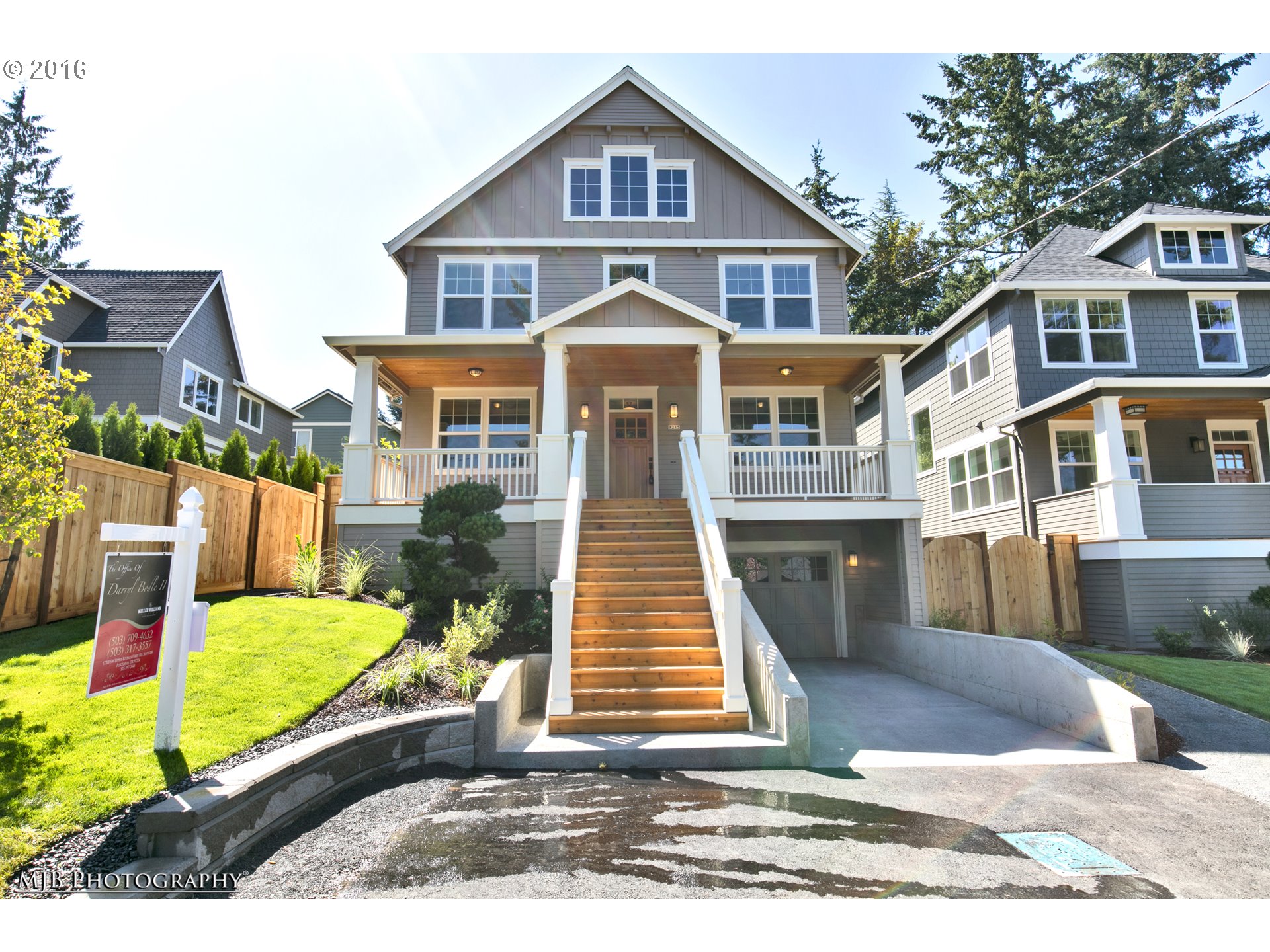
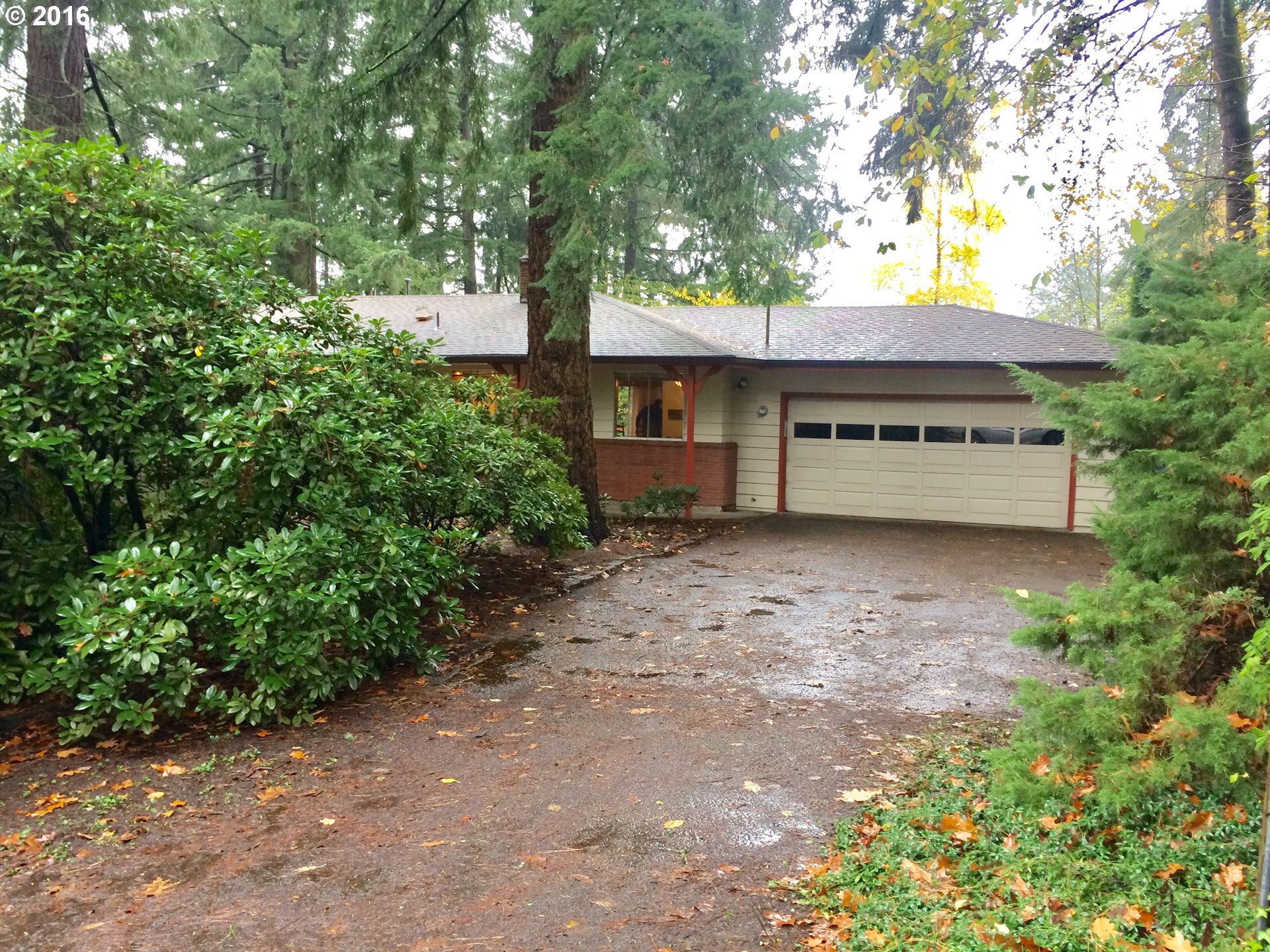
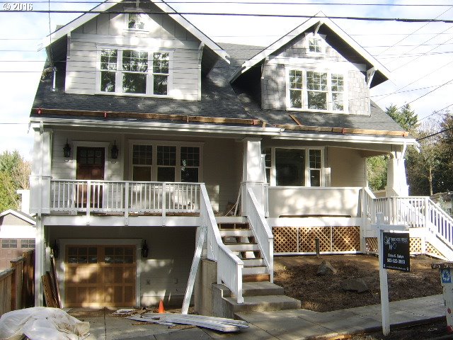
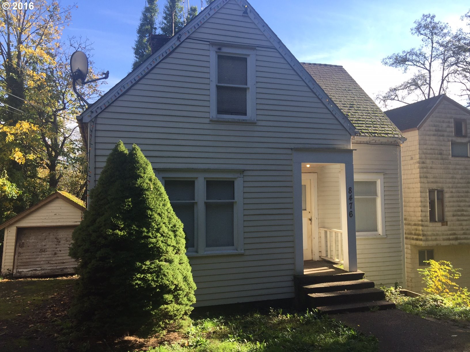
What interesting about the community is the variety of home styles. The predominate style is contemporary as most of the homes were built after WWII. In the 90s, developers started building townhomes around the village area and that trend has continued. Condos have been built within the last few years.
Portland Monthly Magazine Guide to Neighborhoods
 In their April issue every year, the Portland Monthly Magazine features the past year home prices along with other information about Portland neighborhoods and suburban communities. To read the magazine’s latest stories and numbers visit the Real Estate section.
The numbers on the website and the printed magazine are divided into four sections (real estate, people, crime, and lifestyle) on each of the Portland 90 plus neighborhoods as well as about 25 suburban communities. The website offers over 50 items of information about each Portland neighborhood and suburban community.
The magazine added a feature on their website for homes sold in 2014 and it’s also available for homes sold in 2015 — an interactive map where you can click on a neighborhood and a pop-up displays five items (1-year median price change, 5-year median price change, median gross rent, walkability score and percent of newcomer) for a Portland neighborhood as well as a suburban community. Note the detailed numbers for each of the four sections for homes sold in 2015 are displayed below the map.
To visit the magazine’s website latest stories and numbers visit their Real Estate section — click on “Neighborhoods” to view the numbers for the Portland neighborhoods and click on “Suburbs” for the numbers on communities in the metro area. Note the detailed numbers for each of the four sections for homes sold in 2014 and 2015 are displayed below the map. To access the Portland neighborhoods and metro communities demographic data and home prices by year:
- 2013 Demographics and Home Prices
- 2014 Demographics and Home Prices
- 2015 Demographics and Home Prices
Multnomah Demographics Below some facts about the Multnomah neighborhood gleaned from the magazine’s website. A few numbers can tell much about the character of a neighborhood. You can view more data about Multnomah by visiting the Portland Monthly’s website.
- Average year homes built in the neighborhood: 1969
- Percent of residents below poverty level: 14.4%
- Percent of neighborhood size with parks: 11%
- Live within a 1/2 mile of a park: 89%
- Commute by bike or walking: 4.6%
1Multnomah Home Prices: 2007-2015
- Number of Homes Sold in Multnomah—► 149 homes were sold in 2015 and 3.4 were distressed sales. 144 homes were sold in 2014 and 19% were condo sales — 5% were distressed property sales. 142 homes were sold in 2013 and 6% were distressed sales. 98 homes were sold in 2012 and 9% were distressed sales. 90 homes were sold in 2011 and 26% were distressed sales. 68 homes were sold in 2010 and 7% were distressed sales.
- Median Price for Homes Sold in Multnomah—► $360,oo in 2015, $344,500 in 2014, $301,200 in 2013, $291,500 in 2012, $264,000 in 2011, $279,900 in 2010, $276,300 in 2009, $300,000 in 2008, and $326,000 in 2007.
- Average Cost per Square Foot—► $213 in 2015, $185 in 2014.
- 1-Year Median Sales Price Change in Multnomah—► The change was 7.6% in 2015, 11% in 2014, 3% in 2013, 10% in 2012, -3% in 2011, and -2% in 2010.
- 5-Year Median Sales Price Change in Multnomah—► 36.4% in the years 2011-2015. 2010 to 2014 the change was 10%. 2009 to 2013 the change was -1%. 2008 to 2012 the change as -4%. 2007 to 2011 the change was -19%. 2006 to 2010 the change was -1%.
- Portland Metro Area Median Home Price—► $308,000 in 2015, $288,500 in 2014, $265,100 in 2013, $235,000 in 2012, $221,000 in 2011, $239,900 in 2010, $247,000 in 2009, $278,000 in 2008, and $290,000 in 2007.
- Portland Metro Area Average Home Price—► $354,500 in 3015, $333,000 in 2014, $310,600 in 2013, $275,000 in 2012, $263,300 in 2011, $282,100 in 2010, $289,900 in 2009, $330,300 in 2008, and $342,000 in 2007.
Please be aware that the above figures are subject to error and are intended as guidelines only.
Find a Home in the Multnomah Neighborhood
- Homes for Sale in the Multnomah Neighborhood — View on all devices except Apple® mobile devices. To view homes for sale in the Multnomah neighborhood on Apple® mobile devices key in “Multnomah” in the “Location” field and click on the “Search Now” icon.
- Displays Homes for Sale in the Multnomah Neighborhood — View on all devices. Photos of homes displayed along with detailed description of property.
- Search for Homes — Search on all devices. Map-based on devices configured with Adobe Flash and Javascript and text-based on any device.
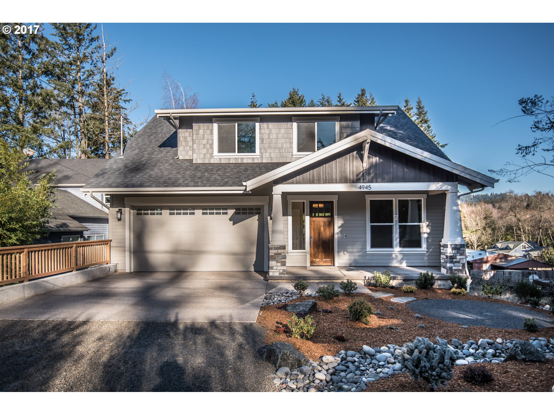
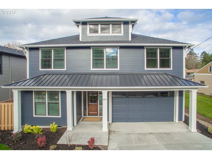
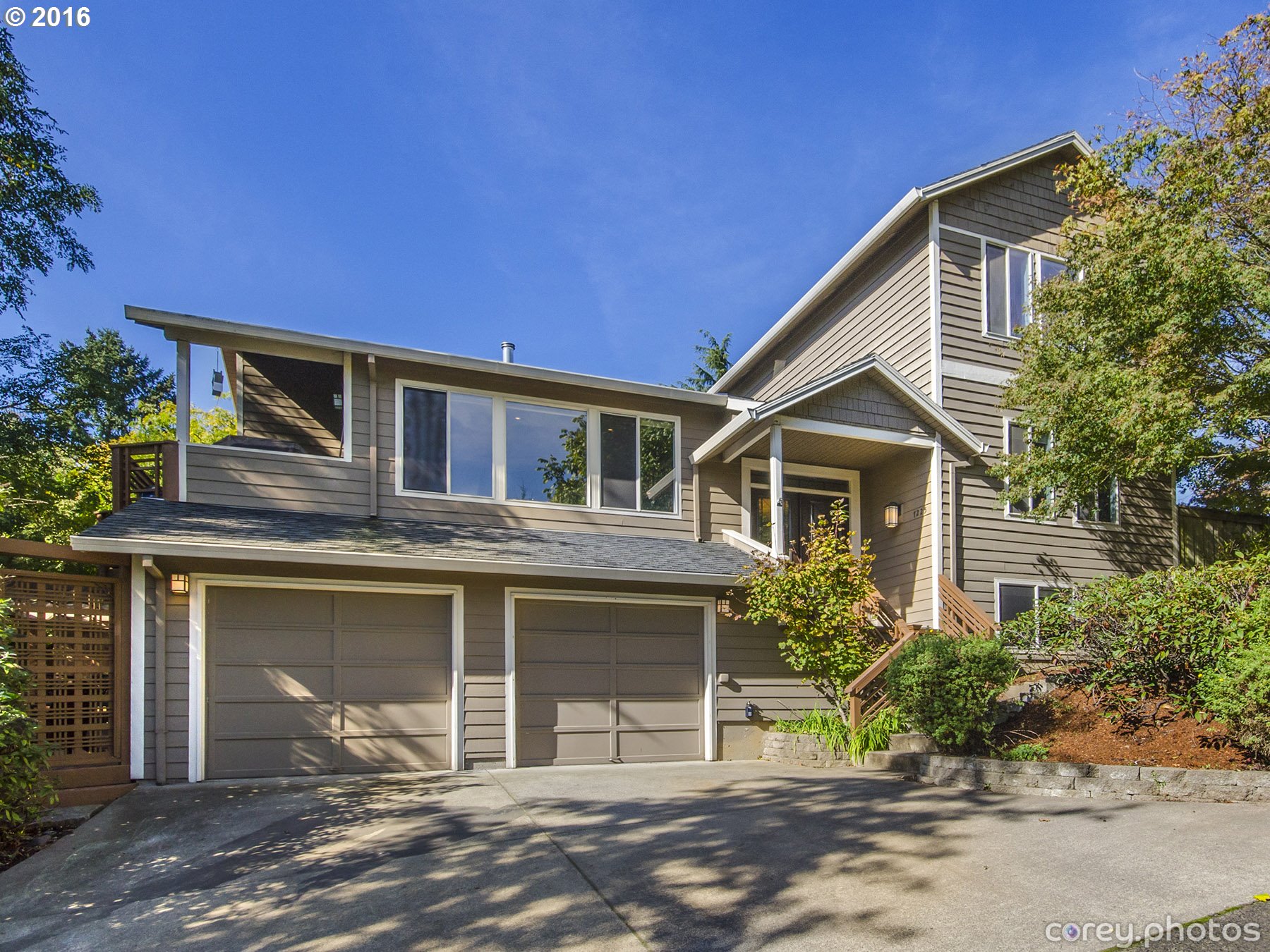
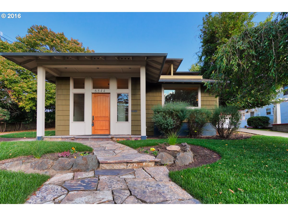
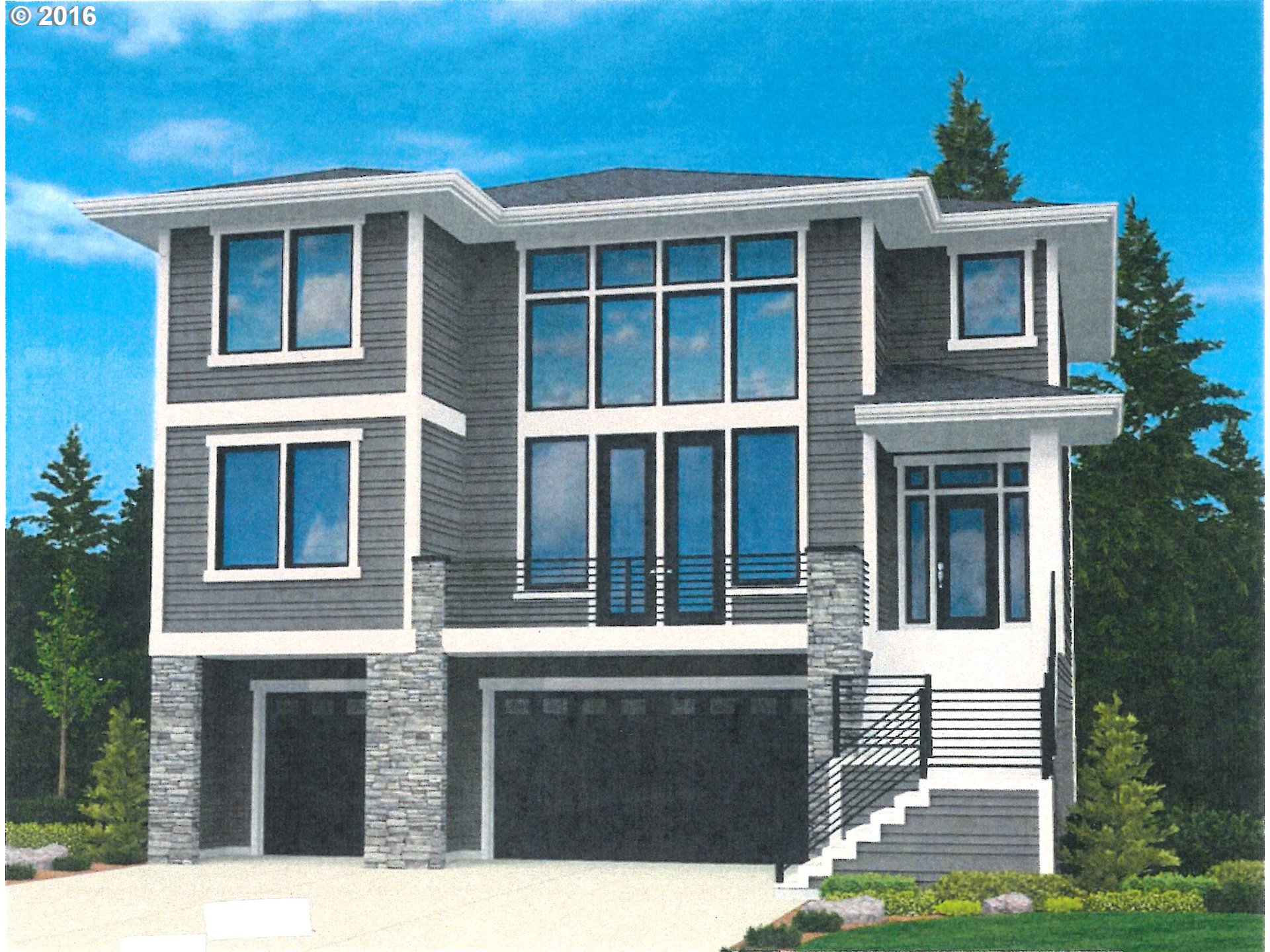
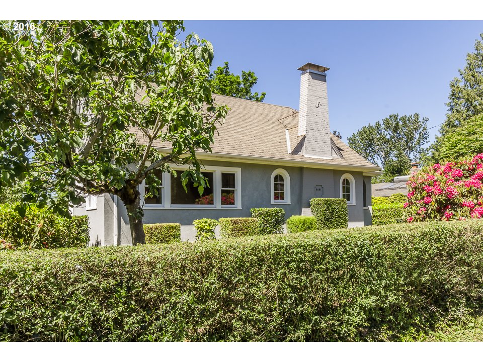
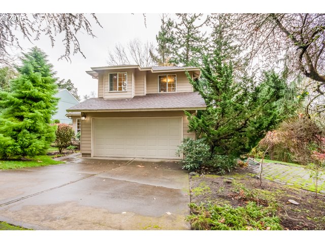
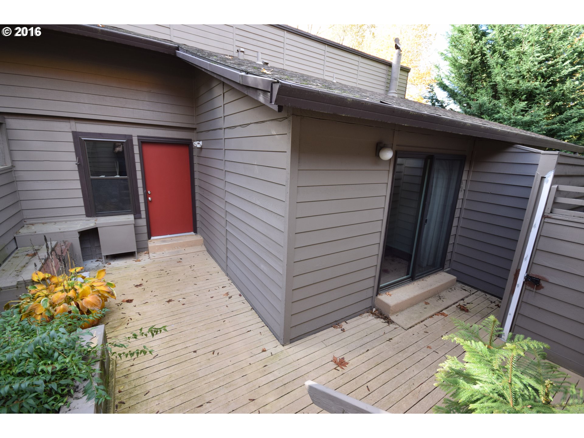
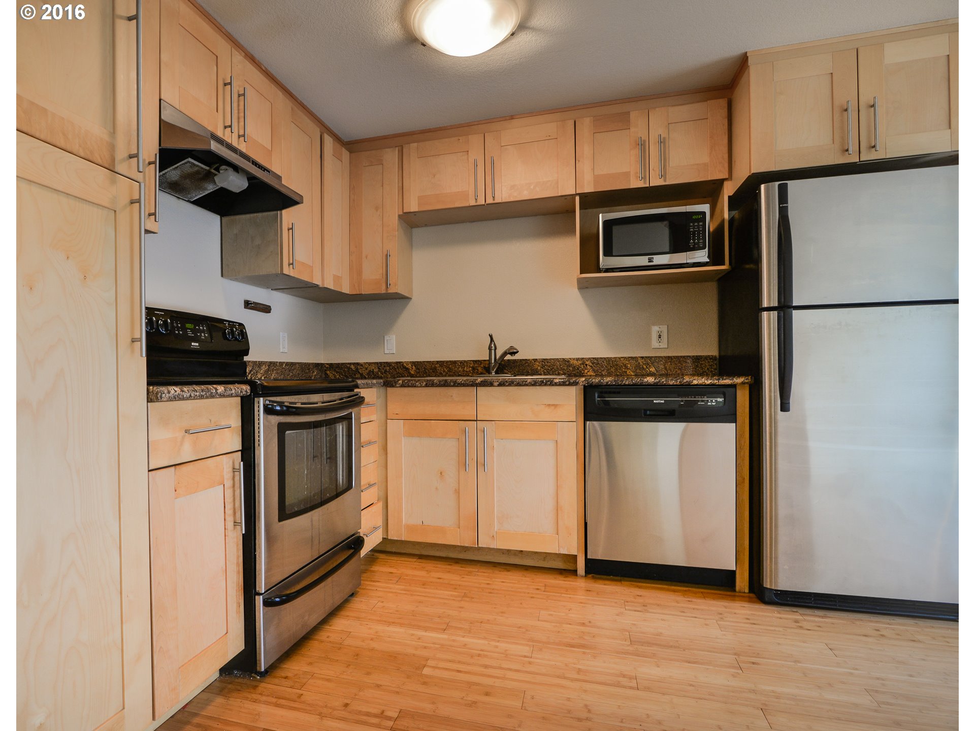
Homes for Sale in Multnomah
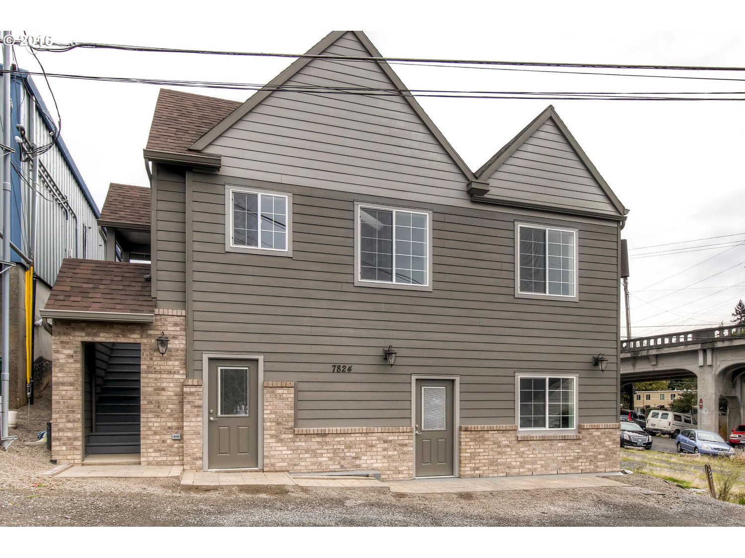
7824 Sw 37th Ave Portland, OR 97219
3535 Sw Logan St Portland, OR 97219

Sw Nevada Ct Portland, OR 97219
2939 Sw Custer St Portland, OR 97219

4475 Sw Carson St Portland, OR 97219
7225 Sw 19th Ave Portland, OR 97219
6844 Sw 33rd Pl Portland, OR 97219
4483 Sw Carson St Portland, OR 97219

8514 Sw 46th Ave Portland, OR 97219

8576 Sw 47th Ave Portland, OR 97219
6817 Sw 35th Ave Portland, OR 97219
9215 Sw 40th Ave Portland, OR 97219
4311 Sw Freeman St Portland, OR 97219
3505 Sw Custer St Portland, OR 97219
3509 Sw Custer St Portland, OR 97219

8476 Sw 37th Ave Portland, OR 97219
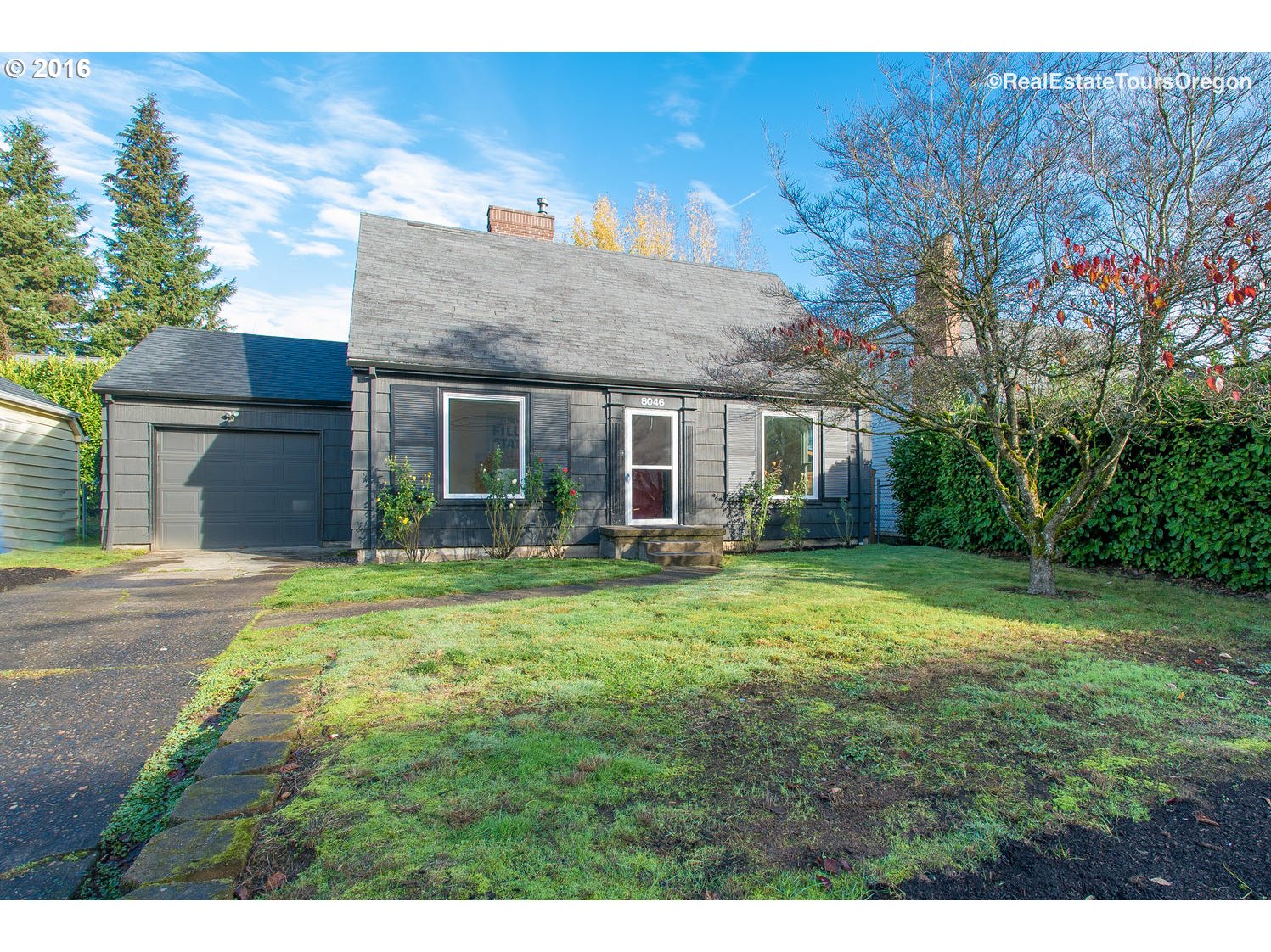
8046 Sw Capitol Hill Rd Portland, OR 97219
3828 Sw Dolph Ct Portland, OR 97219
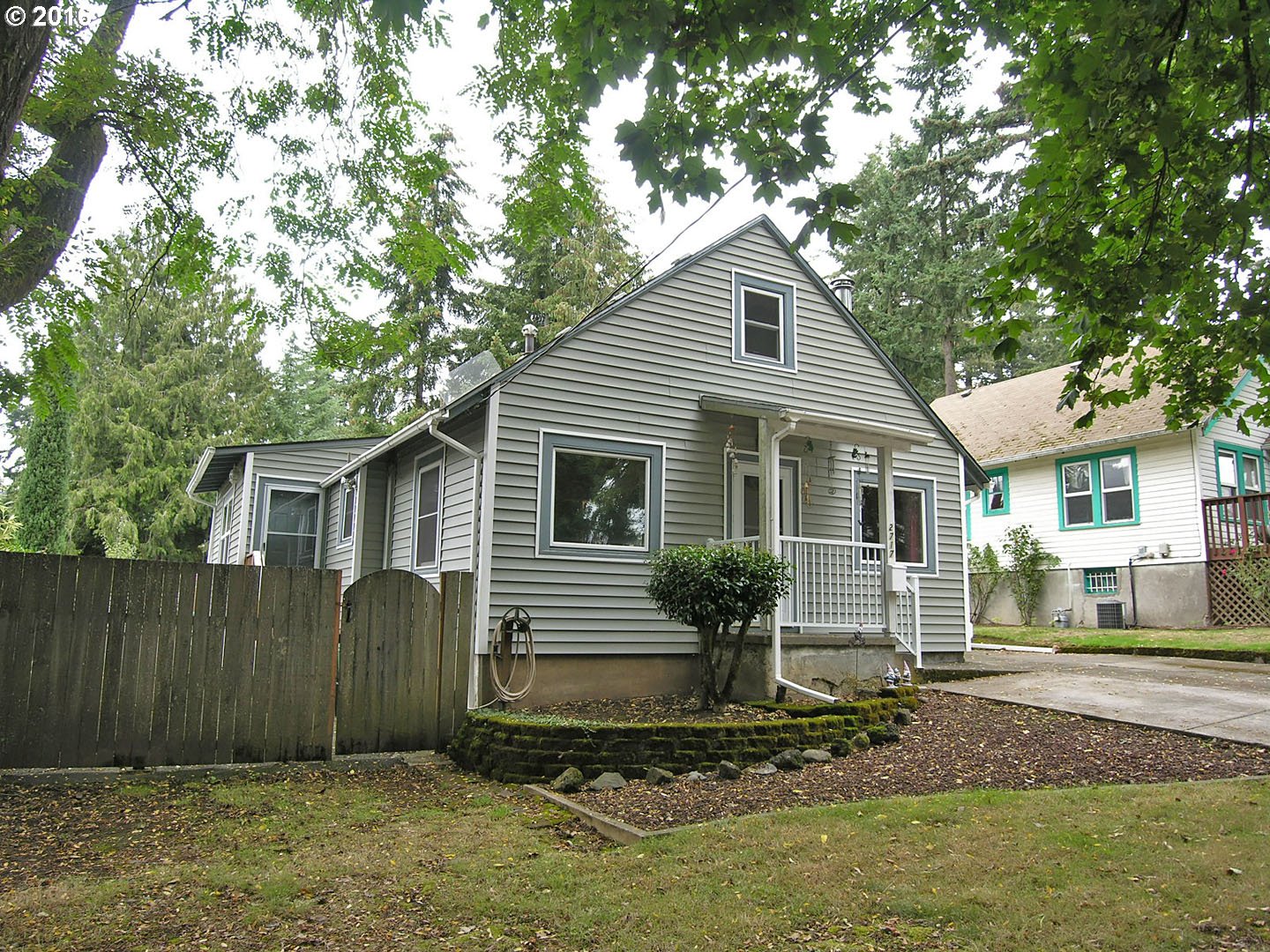
2717 Sw Miles St Portland, OR 97219
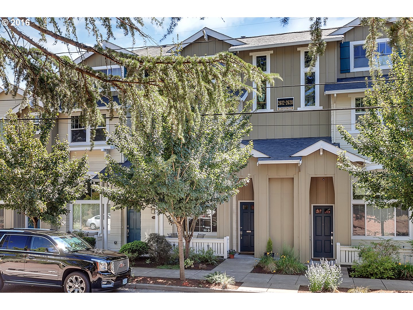
2620 Sw Hume Ct Portland, OR 97219
3893 Sw Canby St Portland, OR 97219
3028 Sw Carson St Portland, OR 97219

7937 Sw 40th Ave #a Portland, OR 97219

7937 Sw 40th Ave #c Portland, OR 97219
7931 Sw 40th Ave #e Portland, OR 97219
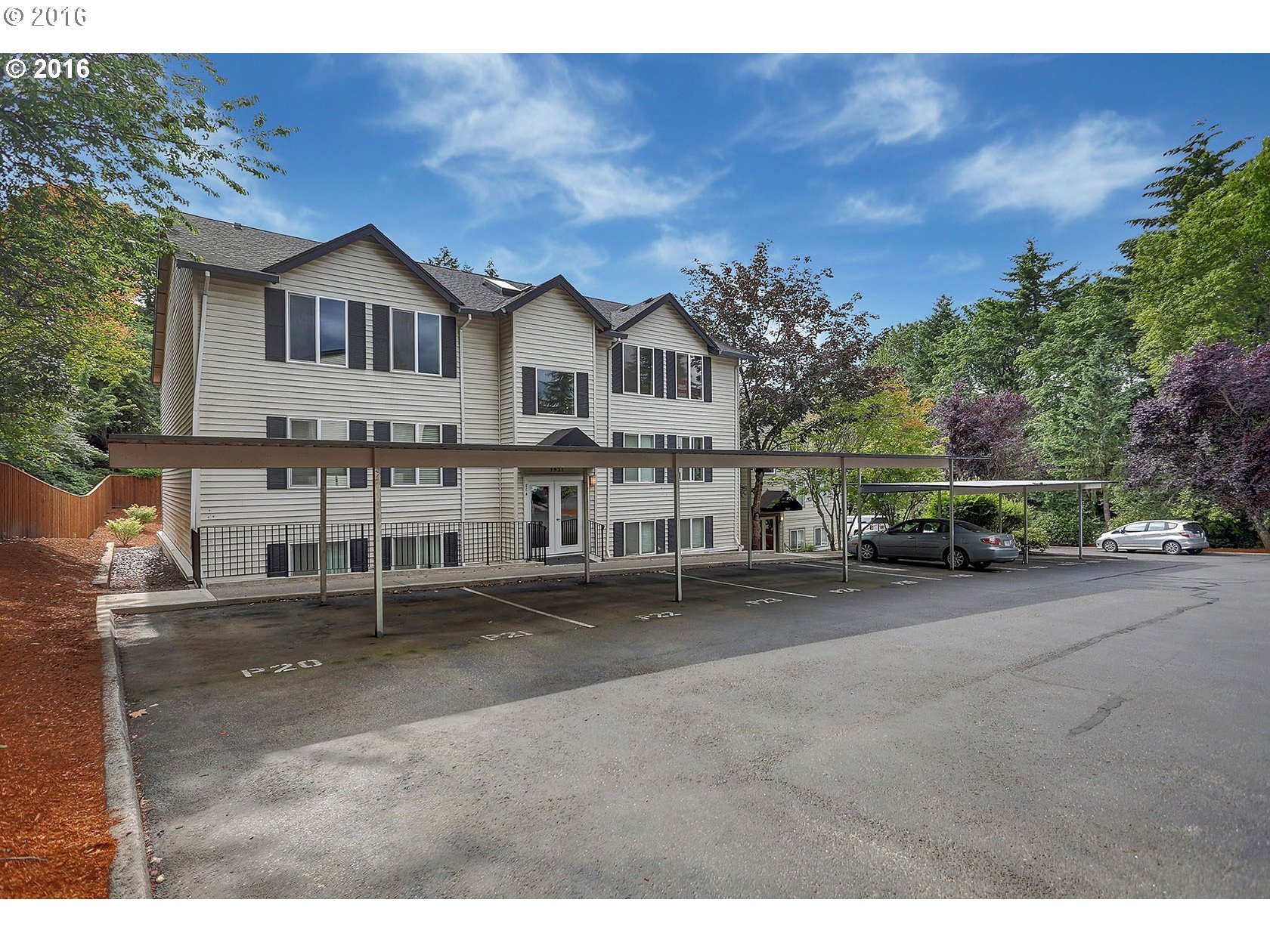
7937 Sw 40th Ave #g Portland, OR 97219

7929 Sw 40th Ave #k Portland, OR 97219

Parks and Community Centers in the Multnomah Neighborhood
The 90-acre Gabriel Park has a wide assortment of facilities for all kinds of activities. This includes a playground, tennis courts, off-lease dog area, trails, and large fields for soccer and baseball/software. In a corner of the park is the Southwest Community Center. It includes a basketball court, fitness room, gymnasium, kitchen, meeting room, party room, indoor swimming pool, and weight room.
The Sprout Academy is an educational preschool with a ‘green’ focus offered by Portland Parks & Recreation’s Southwest Community Center, located in the Southwest Community Center. “Sprout” students acquire the foundations of learning, including math, science, language development, art, music, and social skills. All the while, children experience nature and learn about ecosystems, sustainable living, and caring for the environment through developmentally appropriate activities in and out of the classroom.
The Portland Parks and Recreation Department also has an Arts Center in the village area. The Multnomah Arts Center facility includes classrooms, weaving rooms with over 60 looms, a darkroom, printmaking studio with presses, dance studio, music rooms, a ceramics studio with pottery wheels, slab roller, and kilns, and an applied arts studio with sculpture and jewelry making equipment. Rentable areas include an auditorium and stage, gymnasium, dance studio, classrooms, kitchen, and kitchenette. Outdoor grounds include a covered basketball court, playground, courtyard, and parking.
Multnomah has 101 acres of park land and open spaces according to Metro and the Portland Department of Parks and Recreation.
Walking in Multnomah
The SW Trails Group is a committee of Southwest neighborhoods that uses volunteer efforts to make trail improvements, lead walks, work with Safe Routes to School, plan, and advocate for pedestrian and bicycle safety and other improvements in Southwest Portland. Their walks are the second Saturday of each month.
Gabriel Park has some great trails for either a run or a walk. Some of the trails go through a wooded section of the park and others through open areas.
Walk Score helps you find a walkable place to live. Walk Score is a number between 0 and 100 that measures the walkability of any address. Portland is the 14th most walkable city in the U.S. with a Walk Score of 63, a Transit Score of 50 and a Bike Score of 72. There are over 3,000 restaurants and coffee shops in Portland. People in Portland can walk to an average of five restaurants and coffee shops in five minutes.
The Walk Score for the Multnomah neighborhood is 63, the Transit Score is 42, and the Bike Score is 60.
Multnomah
Somewhat Walkable
Walk Score®
63
out of 100
More About Multnomah
Learn more about the Multnomah neighborhood by visiting Portland Maps. The site provides a list of businesses, demographic data, crime stats, parks, schools, aerial photos, maps, elevation, and more for the Multnomah neighborhood. All you need is a property address – use “8446 SW 30th Avenue” or you can use an address of your choice.
- Neighborhood Association Website The neighborhood has one page on the SW Neighborhoods website. The SW Capitol Road neighborhood is on Facebook.
- Neighborhood News A good source of information about the neighborhoods is the Multnomah Village Post, the local weekly newspaper.
- Location About four miles south on I-5 and where the freeway jogs to the southwest − Multnomah is just to the west.
- Multnomah Boundaries North: Southwest Vermont. South: I-5. East: 46th-Capitol Highway. West: Southwest 45th.
- Map of Multnomah Boundaries Multnomah.
- 2Drive Time to Downtown 15 minutes.
- Topography Moderate rolling hills and wooded.
- Streets and Sidewalks Winding streets along with some grid patterns. Some of the blocks have sidewalks.
- Public Transportation TriMet has ten bus routes in Multnomah. The neighborhood does not have access to MAX light rail or the streetcar line. Transit Score provides a 0-100 rating indicating how well an address is served by public transportation. Ratings range from “Rider’s Paradises” to areas with limited or no nearby public transportation.
- Commuting 22% of the neighborhood residents commute using public transportation, 0.9% bike, and 3.7% walk.
- 3Census 2010 Demographics Population: 7,409. Area size: 923 acres. Average population density: 8 persons per acre. Number of households: 3,813. Average size of household: 1.94 persons. Median household income: $57,116. Families with children: 20%. Percent of homeowners: 52%. Percent of renters: 48%. Diversity: 13.4% non-Caucasian: 28%. More census data about Multnomah at Portland Online and City Data.
- 4Crime Stats There were 144 property crimes (assault, arson, burglary, larceny, robbery, theft from auto, vehicle theft) in 2014. There were six violent crimes (aggravated assault, homicide, robbery, rape) committed in 2014. There were 19 crimes per 1,000 residents in 2014. For the latest crime statistics and historical data for the Multnomah neighborhood, visit the Portland Police Bureau website.
- Sex Offenders Click here for the State of Oregon Sex Offender Inquiry System. After agreeing to the “Conditions of Use Statement” you will be redirected to a “Enter Search Criteria” page. Insert a zip code in the “Zip” field and click on the “Query” button. Multnomah zip code: 97219.
-
5Shopping and Services Number of supermarkets: 1. Number of health clubs: 2. Number of coffee shops: 4.
The Village Center − main street and side streets – is like living in a small town. The village has numerous small shops and eating places. If you’re a reader, visit Annie Bloom’s Books – comfy armchairs, a house cat, and a complimentary cup of tea make you feel at home. You can also head to the next neighborhood, Hillsdale, to purchase anything you need but can’t find in the village. - Eating Out Any local will point in the direction of Marco’s Cafe and Espresso Bar. Another favorite is the Lucky Labrador Public House and O’Connors Pub. The Fat City Cafe’s walls are adorned with interesting pieces of history.
- Public Library The closest library is a short drive to the east – the Hillsdale Library.
- Who Lives in Multnomah People who enjoy a sense of community with a range of housing (single family, townhomes, a few apartments). The median age in Multnomah is 34.
- Cars in the Neighborhood Small cars – Subarus are common.
- 6Biking Multnomah has 7.4 miles of bike lanes.
Map of Multnomah Neighborhood
___________________________________